
Co-operative traffic safety system developed in Finland

VTT Technical Research Centre of Finland, Mobisoft Oy and the Finnish Meteorological Institute, with support from partners, have developed a communication system for drivers to inform them about weather and road conditions and prevent serious or fatal accidents. When there is snow or ice on the road, the risk of an accident is increased by a factor of 4.1 compared to normal conditions, according to research conducted at the Tampere University of Technology.
March 22, 2012 Read time: 2 mins
814 VTT Technical Research Centre of Finland, Mobisoft Oy and the Finnish Meteorological Institute, with support from partners, have developed a communication system for drivers to inform them about weather and road conditions and prevent serious or fatal accidents.

When there is snow or ice on the road, the risk of an accident is increased by a factor of 4.1 compared to normal conditions, according to research conducted at the Tampere University of Technology.

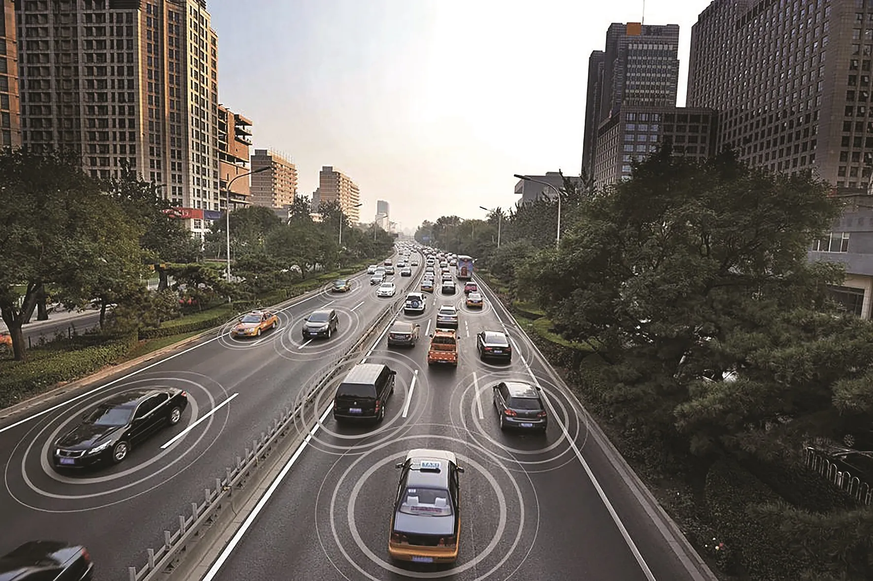
VTT and the Finnish Meteorological Institute, under the international WiSafeCar project and with support from partners, have developed a vehicle and traffic communication system aimed at improving traffic safety. This communication system was developed with Finland’s challenging climate conditions in mind.

The system allows vehicles to transmit traffic and weather observations to a traffic service centre, where the data are analysed and conveyed to other vehicles on the road, together with information on road conditions. The system also alerts drivers in case of imminent danger of an accident due to slippery road.

The project involved testing short-range data transfer compliant with the IEEE 802.11p standard, and long-range communication based on a mobile phone network. VTT says it believes this is the first pilot project in Finland to employ both mobile radio technologies at the same time.

The WiSafeCar project involves nine research organisations and companies in Finland, Luxembourg and South Korea; the project was started in 2009 and ends in March 2012. Commercialisation of the project results has been launched with traffic services development, and more results will be forthcoming over the next two years. The project consortium will continue to disseminate the results under a new project, CoMoSeF.

For more information on companies in this article

Related Content

  • UR:BAN developing driver assistance and traffic management systems
    May 16, 2014
    European vehicle manufacturers, including BMW, Opel and Mercedes-Benz and MAN, are taking part in a new project to develop advanced driver assistance and traffic management systems for cities. The focus is on the human element in all aspects of mobility and traffic and takes the form of three approaches: Cognitive Assistance; Networked Traffic Systems; and Human Factors in Traffic. The four-year UR:BAN project (from a German acronym for Urban Space: User-oriented assistance systems and network managemen
  • Cohda Wireless links with U-Blox on V2X solution
    July 14, 2020
    Combining V2X software with UBX-P3 chip creates 'important proof point'
  • Multi-tasking at the wheel a potentially fatal myth, finds IAM
    November 20, 2015
    Expert psychologists have concluded that multi-tasking whilst driving is a myth – and the most dangerous of those driving multi-tasks is texting and talking on a mobile phone, according to a new report produced by the Institute of Advanced Motorists (IAM) and the Transport Research Laboratory (TRL). The research focuses on the dangers involved when drivers try and engage in more than one task, indicating this can have a ‘detrimental’ effect on the quality and accuracy of driving performance. The find
  • Clearview launches Journey Time Monitoring System
    December 14, 2018
    Clearview Intelligence has launched its Journey Time Monitoring System which uses crowdsourced data to generate automatic traffic alerts for temporary and permanent routes. Paul Bates, head of product management for Clearview, says the system – which analyses anonymous GPS-determined locations transmitted by mobile phone and satellite navigation users - removes the need for installing and maintaining roadside technology. Operators can launch the application from a computer and receive data in minutes.