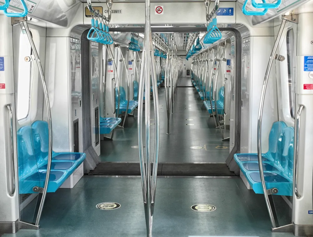
The four-week TfL pilot, which ran between November and December last year, studied how depersonalised wi-fi connection data from customers' mobile devices could be used to better understand how people navigate the London Underground network, allowing TfL to improve the experience for customers.
The pilot focused on 54 stations within Zones 1-4 and saw more than 509 million depersonalised 'probing requests', or pieces of data, collected from 5.6 million mobile devices making around 42 million journeys. The data collected was depersonalised, so that no individuals could be identified, and no browsing data was collected from devices. No data collected through the trial was made available to any third parties; the pilot included clear communication with customers about how to opt out should they wish to do so.
These journeys were analysed by TfL's in-house analytics team and broken into different aggregated 'movement types' to help understand what customers were doing at particular points of their journeys - such as entering or exiting a station, changing between lines or just passing through the station while on a train.
By using this data, TfL was able to get a much more accurate understanding of how people move through stations, interchange between services and how crowding develops.
The pilot revealed a number of results that could not have been detected from ticketing data or paper-based surveys. For example, analysis showed that customers travelling between King's Cross St Pancras and Waterloo take at least 18 different routes, with around 40% per cent of customers observed not taking one of the two most popular routes.
The data collected through the pilot could have a number of benefits for TfL and its customers. These include allowing staff to better inform customers of the best way to avoid disruption or unnecessary crowding and helping customers plan the route that best suits them - whether based on travel time, crowding or walking distance. It could also enable greater expertise in providing real-time information to customers as they travel across London and help to further prioritise transport investment to improve services and address regular congestion points - ensuring the maximum benefits to customers.
While the usual ticketing data for major interchange stations such as Oxford Circus can show the levels of people entering and exiting the stations, it cannot show the huge numbers of people interchanging during peak hours, or precise local areas where crowding occurs on platforms or around escalators, which wi-fi data is able to do.
TfL has now begun discussions with key stakeholders, including the Information Commissioner's Office, privacy campaigners and consumer groups about how this data collection could be undertaken on a permanent basis, possibly across the full Tube network.
Pilot shows how wi-fi data could improve London Underground journeys
Journeys on London Underground could be improved through Transport for London (TfL) harnessing wi-fi data to make more information available to customers as they move around London, new research has shown.
The four-week TfL pilot, which ran between November and December last year, studied how depersonalised wi-fi connection data from customers' mobile devices could be used to better understand how people navigate the London Underground network, allowing TfL to improve the experience for customers.
Journeys on London Underground could be improved through 1466 Transport for London (TfL) harnessing wi-fi data to make more information available to customers as they move around London, new research has shown.