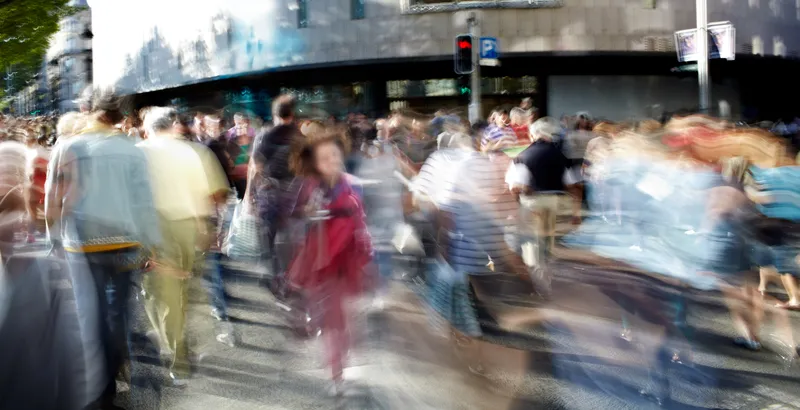
Boston, US, has formed a new data-sharing partnership with Google-owned traffic app Waze, to enable the city’s drivers, cyclists and pedestrians to check real time traffic conditions on Boston’s streets. The partnership aims to help improve traffic flow in Boston in two principal ways. As part of the partnership, the City will share information on expected road closures with the 400,000 users of Waze in Greater Boston, helping them find the best way to get around town. In addition, aggregated information o
RSSBoston, US, has formed a new data-sharing partnership with Google-owned traffic app Waze, to enable the city’s drivers, cyclists and pedestrians to check real time traffic conditions on Boston’s streets. The partnership aims to help improve traffic flow in Boston in two principal ways.
As part of the partnership, the City will share information on expected road closures with the 400,000 users of6897 Waze in Greater Boston, helping them find the best way to get around town. In addition, aggregated information on traffic reported by Waze users will be shared with the city's traffic management centre (TMC), which adjusts the 550 signalised intersections across the city to improve traffic flow.
Data from Waze is already being used to augment information available from hundreds of intersection cameras citywide and inform traffic signal timing decisions by the TMC.
"Over the past few weeks, it has become clear how critical it is to find innovative ways to improve traffic flow in the City of Boston," said Mayor Martin J. Walsh. "I thank1691 Google for their partnership in providing us with another way to use data to better improve how City government works."
“This partnership will help engineers in the TMC respond to traffic jams, accidents and road hazards quicker”, said Boston Transportation Department commissioner Gina Fiandaca. “And, looking forward, the Waze data will support us in implementing - and measuring the results of - new congestion management strategies.”
The city is also looking at several different solutions to traffic management, such as working with the5200 Massachusetts Bay Transportation Authority (MBTA) to evaluate traffic signal prioritisation and its effectiveness along key MBTA routes. Data received from Waze users allows the city to measure the impact on traffic speeds when MBTA vehicles are given priority at traffic signals.
As part of the partnership, the City will share information on expected road closures with the 400,000 users of
Data from Waze is already being used to augment information available from hundreds of intersection cameras citywide and inform traffic signal timing decisions by the TMC.
"Over the past few weeks, it has become clear how critical it is to find innovative ways to improve traffic flow in the City of Boston," said Mayor Martin J. Walsh. "I thank
“This partnership will help engineers in the TMC respond to traffic jams, accidents and road hazards quicker”, said Boston Transportation Department commissioner Gina Fiandaca. “And, looking forward, the Waze data will support us in implementing - and measuring the results of - new congestion management strategies.”
The city is also looking at several different solutions to traffic management, such as working with the