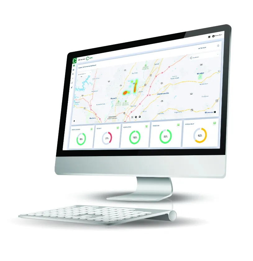
TrafficCast International has successfully implemented two traffic signal optimisation projects in the State of Georgia. To improve key arterial roadway efficiencies, Cobb County and Fulton County have deployed TrafficCast’s BlueToad online suite of travel time data management tools to mitigate congestion and reduce travel delays.
July 11, 2012
Read time: 2 mins
RSS826 TrafficCast International has successfully implemented two traffic signal optimisation projects in the State of Georgia. To improve key arterial roadway efficiencies, Cobb County and Fulton County have deployed TrafficCast’s BlueToad online suite of travel time data management tools to mitigate congestion and reduce travel delays.
BlueToad (Bluetooth Travel-time Origination And Destination) detects anonymous mobile device information used to connect Bluetooth devices such as hands-free headsets, cellular phones, navigation units and in-vehicle infotainment systems. The technology calculates accurate travel times through analysis of timestamps of unique Bluetooth identifiers on these devices as vehicles pass, and can identify route behaviours based on vehicle movements.
“Used as a performance based measurement tool, BlueToad provides us with a traffic data system to help support the efficient operation of our adaptive corridor management initiative,” said Cobb County traffic signal systems manager, Brook Martin. “For example, our new traffic management centre (TMC) utilizes the BlueToad real-time speed map and associated data as an incident management and monitoring resource to determine the effects of heavy traffic from I-75 spilling onto Cobb Parkway.”
Wyvern Budram, Fulton County traffic operations manager comments that, “using BlueToad for reporting historical data gathered from an archived travel-time database, we are able to analyse valuable information to effectively manage our newly-installed adaptive signal system. As a result, we use BlueToad data to determine modifications to signal timing splits and offsets to actively manage and maintain our key arterial traffic signals.”


