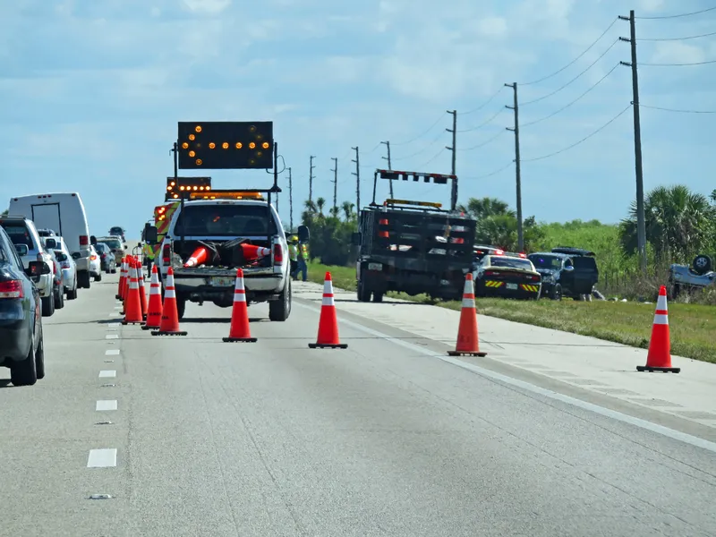
Massachusetts Department of Transportation (MassDOT) has deployed forty-eight message signs along the Massachusetts Turnpike, Route 3 on the South Shore and the Mid-Cape highway, which will use information from Bluetooth enabled devices to display real time traffic information. The signs will operate seven days a week from 5am to 10pm and will be updated every three minutes with new information. A unique identifier and a time stamp is created when a Bluetooth enabled device, such a cell phone in a car, pass
The signs will operate seven days a week from 5am to 10pm and will be updated every three minutes with new information. A unique identifier and a time stamp is created when a Bluetooth enabled device, such a cell phone in a car, passes a roadside detector. When the device passes a second detector, an algorithm is performed using the time stamps and the unique identifier to arrive at the travel time that is displayed on the boards.
The data will be fed to MassDOT’s website and an open data feed for phone app developers will follow in the coming weeks.
Announcing the deployment, MassDOT Secretary and CEO Richard A Davey said: “MassDOT is pleased to provide this information to residents and visitors to the Commonwealth,” said Secretary Davey. “We hope they will use this service to add some predictably to their lives and also serve as a reliable resource to help them make decisions on taking alternative routes or using public transit.”