In an effort to reduce the high number of accidents on India's first six-lane, high-speed, access controlled tolled expressway, the Maharashtra State Road Development Corporation (MSRDC) has decided to install a surveillance system involving speed cameras and digital message signs.
According to a tender notice issued by the MSRDC, a total of 84 high-speed cameras will be installed at seven locations on the 93 kilometre road. The GPRS-based system will also record details such as the vehicle’s registrati
February 18, 2014
Read time: 2 mins
In an effort to reduce the high number of accidents on India's first six-lane, high-speed, access controlled tolled expressway, the 6539 Maharashtra State Road Development Corporation (MSRDC) has decided to install a surveillance system involving speed cameras and digital message signs.
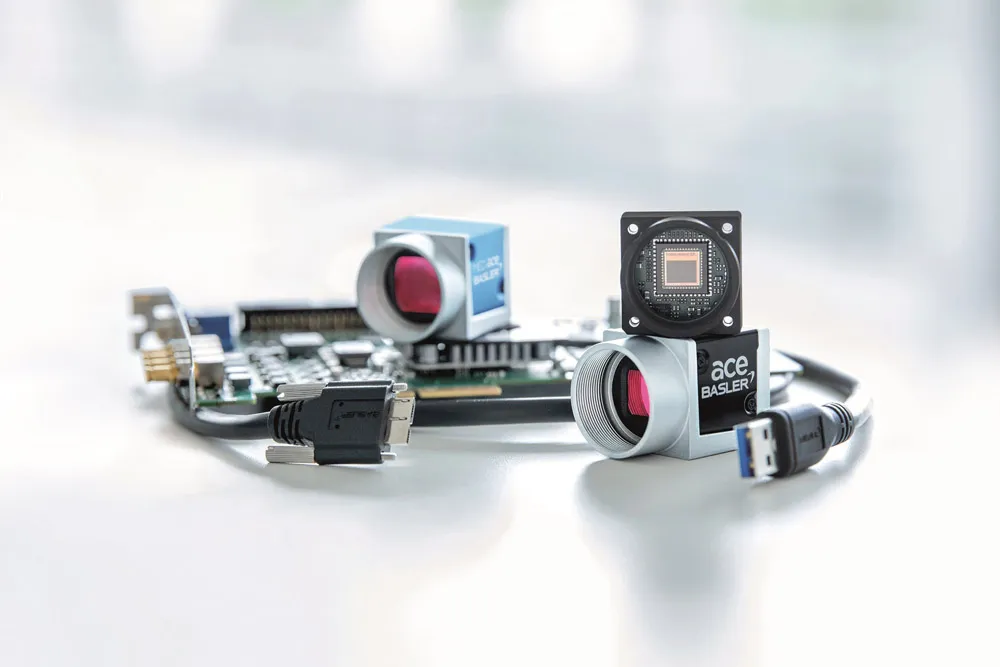
According to a tender notice issued by the MSRDC, a total of 84 high-speed cameras will be installed at seven locations on the 93 kilometre road. The GPRS-based system will also record details such as the vehicle’s registration number, the place of speeding and the time. Currently, the speed limit on the Mumbai-Pune expressway is 80 k/mph.
A senior MSRDC official said, “The high-speed cameras will capture images of all vehicles cutting through lanes, over-speeding and violating traffic rules. The images would be flashed on digital boards that will be set up along with the cameras as a warning and the information will be transmitted to the control room.”


