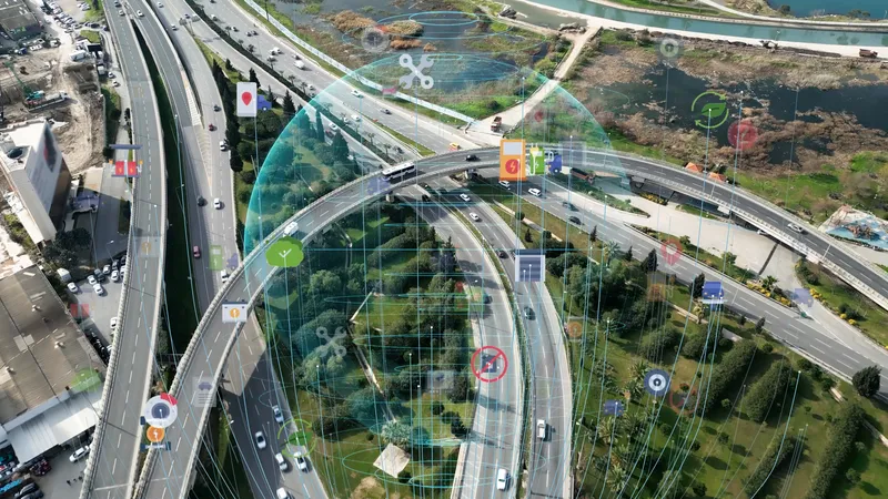
The Iowa Department of Transportation has teamed up with a smartphone navigation app developer Waze to enable motorists to access and update real-time traffic data.
The app uses input from the world's largest community of drivers to report and avoid many types of traffic disruptions.
The new Waze layer on the 511 traveller information system is available through websites, phones and mobile apps. The layer shows Iowa DOT-filtered crowd sourced data from the Waze data feed that might affect traffic, suc
August 20, 2015
Read time: 2 mins
The 7511 Iowa Department of Transportation has teamed up with a smartphone navigation app developer 6897 Waze to enable motorists to access and update real-time traffic data.
The app uses input from the world's largest community of drivers to report and avoid many types of traffic disruptions.
The new Waze layer on the 511 traveller information system is available through websites, phones and mobile apps. The layer shows Iowa DOT-filtered crowd sourced data from the Waze data feed that might affect traffic, such as traffic jams, crashes, closures, objects on the road and heavy fog. The icons representing these traffic situations will have a white background and a blue circle around the icon. When a user clicks on the icon, more details will appear regarding traffic impact and indicating that the information is reported by the Waze app.
Sinclair Stolle of the Iowa DOT's Traffic Operations Office said, "Every second counts. If we can get this information out to the public as soon as possible, they can make more informed decisions about their trip."


