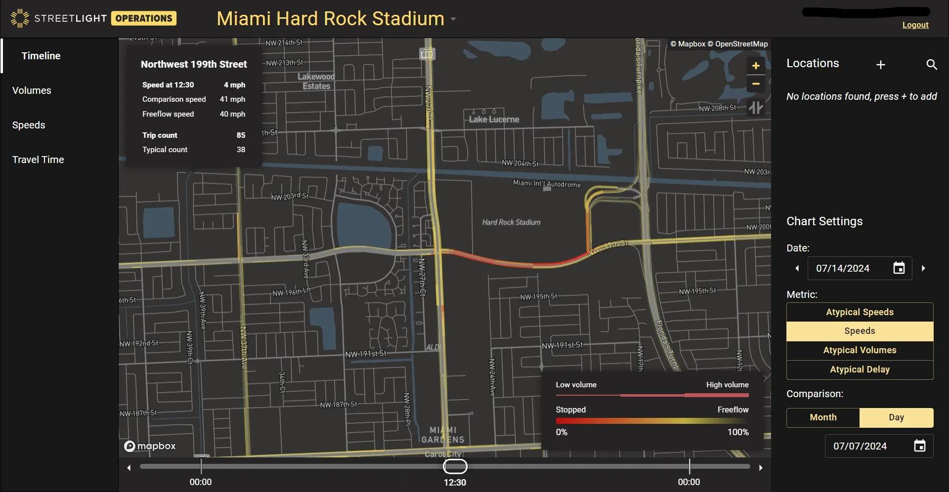
UK traffic information and driver services provider Inrix has introduced a new traffic app for Android that helps drivers locate the closest, cheapest petrol from more than 100,000 petrol station locations nationwide.
October 23, 2012
Read time: 2 mins
UK traffic information and driver services provider 163 Inrix has introduced a new traffic app for 1812 Android that helps drivers locate the closest, cheapest petrol from more than 100,000 petrol station locations nationwide.
Features within Inrix Traffic for Android enable drivers to: locate the closest, cheapest petrol; search up to the minute road maps to find the fastest route; view traffic forecasts to avoid frustrating delays; share arrival times via e-mail or text message; instantly view and alert other Inrix Traffic users to accidents and other incidents along their route; and get personalised traffic alerts.
Additionally, drivers who upgrade to the premium version of Inrix Traffic have access to even more tools and features to help them avoid gridlock, including the ability to add an unlimited number of destinations and view traffic conditions firsthand through Inrix's network of thousands of traffic cameras nationwide.
The company says that, unlike other traffic tools and navigation apps based on crowd-sourced data alone, Inrix Traffic users benefit from the largest traffic network in the world analysing real-time information from hundreds of public and private sources ranging from traditional roads sensors and incident reports to a crowd-sourced community of approximately 100 million drivers.
Inrix Traffic also is available on iOS,4275 Blackberry, Windows Phone and Windows 8.
Features within Inrix Traffic for Android enable drivers to: locate the closest, cheapest petrol; search up to the minute road maps to find the fastest route; view traffic forecasts to avoid frustrating delays; share arrival times via e-mail or text message; instantly view and alert other Inrix Traffic users to accidents and other incidents along their route; and get personalised traffic alerts.
Additionally, drivers who upgrade to the premium version of Inrix Traffic have access to even more tools and features to help them avoid gridlock, including the ability to add an unlimited number of destinations and view traffic conditions firsthand through Inrix's network of thousands of traffic cameras nationwide.
The company says that, unlike other traffic tools and navigation apps based on crowd-sourced data alone, Inrix Traffic users benefit from the largest traffic network in the world analysing real-time information from hundreds of public and private sources ranging from traditional roads sensors and incident reports to a crowd-sourced community of approximately 100 million drivers.
Inrix Traffic also is available on iOS,


