Toyota unveils traffic map in Japan

November 6, 2019 Read time: 1 min

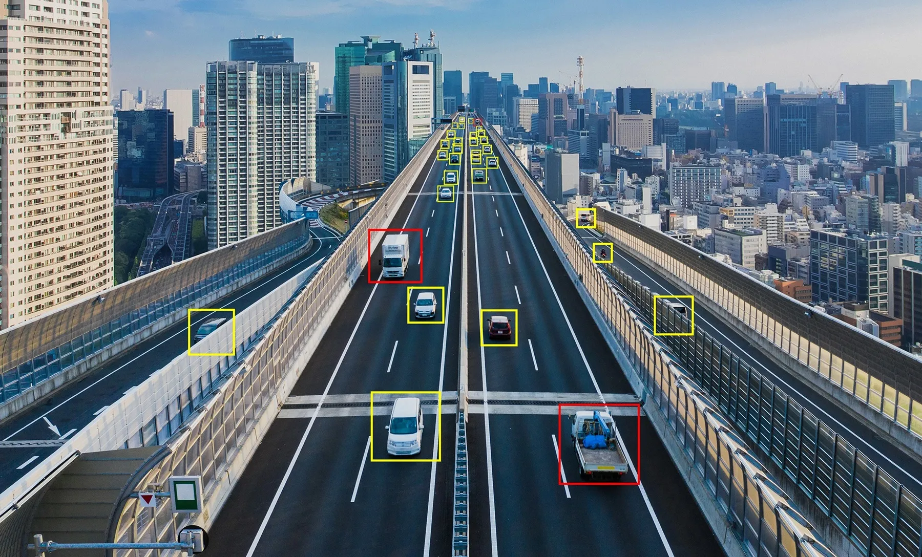
Toyota has released an online map which provides information on road closures and natural disasters in Japan.

The company says users can check data from the past one to 24 hours and carry out searches on areas of heavy traffic.

The real-time data is based on the T-Connect/G-Book telematics service information from communications systems in Toyota’s vehicles, and the map is accessible from a smartphone, computer or other devices.


For more information on companies in this article

Related Content

  • Temporary traffic monitoring with Bluetooth and wi-fi
    May 31, 2013
    David Crawford reviews developments in temporary ITS. Widespread take-up of technologies such as Bluetooth and wi-fi are encouraging the emergence of more sophisticated, while still cost effective, ITS responses to the traffic issues posed by temporary road situations such as work zones and special events. Andy Graham of traffic solutions specialists White Willow Consulting says: “A machine-to-machine radio link is far easier and cheaper than reading characters on a plate.” There can be other plusses. Tech
  • Want intelligent transit? Then share data
    March 2, 2022
    How will the US deploy intelligent transit networks that enable connected vehicles? Data sharing is crucial if urban mobility users are to benefit, explains Timothy Menard of Lyt
  • Advancing traffic management for smart cities
    September 3, 2024
    Promises of increased safety, less pollution, increased productivity and a better quality of life in smart cities are just too good to be ignored. Dany Longval of Teledyne Flir talks through some of the challenges
  • Here unveils Live Sense road hazard SDK
    October 14, 2019
    Here Technologies has released a software development kit (SDK) which it says provides real-time insights on driving conditions and upcoming obstacles without the need for connectivity. Here claims its Live Sense SDK uses artificial intelligence and machine learning to turn front-facing cameras such as smartphones and dashcams into vehicle sensors which can detect other vehicles, pedestrians or cyclists, potholes and road closures. Live Sense then provides information through audio and visual notificati