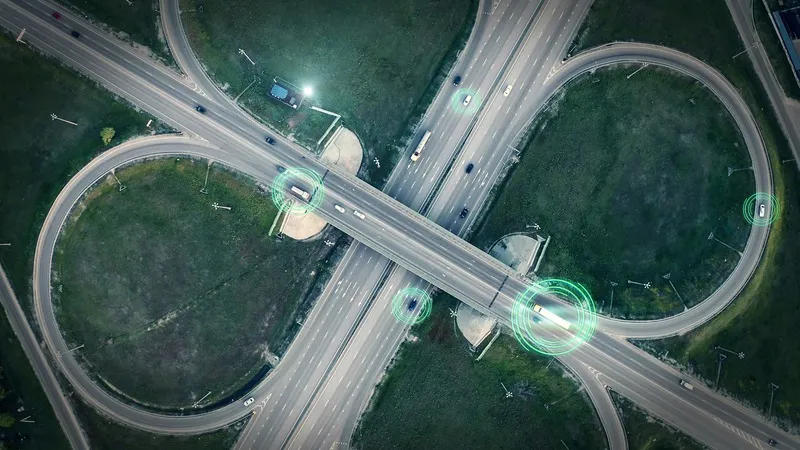
Toyota unveils traffic map in Japan

November 6, 2019 Read time: 1 min

Toyota has released an online map which provides information on road closures and natural disasters in Japan.

The company says users can check data from the past one to 24 hours and carry out searches on areas of heavy traffic.

The real-time data is based on the T-Connect/G-Book telematics service information from communications systems in Toyota’s vehicles, and the map is accessible from a smartphone, computer or other devices.


For more information on companies in this article

Related Content

  • Toyota chooses Telenav's in-car navigation
    August 3, 2015
    Automaker Toyota has opted to use Scout GPS Link by Telenav and UIEngine Link by UIEvolution in its 2016 Toyota Tacoma, as well as other 2016 Toyota vehicles in the United States equipped with Entune Audio Plus. Part of the Scout family of apps by Telenav, Scout GPS Link allows users easily to transfer the information displayed on their mobile device outside the car to the multimedia display inside their car. This not only helps provide an optimised and safe experience with larger buttons and easier-to-
  • No limits for One.network SaaS data
    October 8, 2020
    Platform aims to free up siloed road agency information in US
  • Smartphones smooth the journey for visually impaired
    May 13, 2016
    Moves to make life easier and safer for vulnerable and impaired road users are gaining strength on both sides of the Atlantic. A recent webcast by the US Roadway Safety Institute, based at the University of Minnesota, showcased work in progress on a positioning and mapping methodology using Bluetooth and smartphone technologies to support situation awareness and wayfinding for the visually impaired.
  • Researchers use drones to assess infrastructure damage
    March 6, 2015
    Researchers at the University of New Mexico, along with collaborators at San Diego State University and BAE Systems, are utilising drone technology to develop an operational prototype to assess infrastructure damage. The drone will use innovative remote sensing approaches and cameras mounted on low cost aircraft or unmanned drones to detect and map fine scale transportation infrastructure damage such as cracks, deformations and shifts immediately following natural disasters such as earthquakes, floods and h