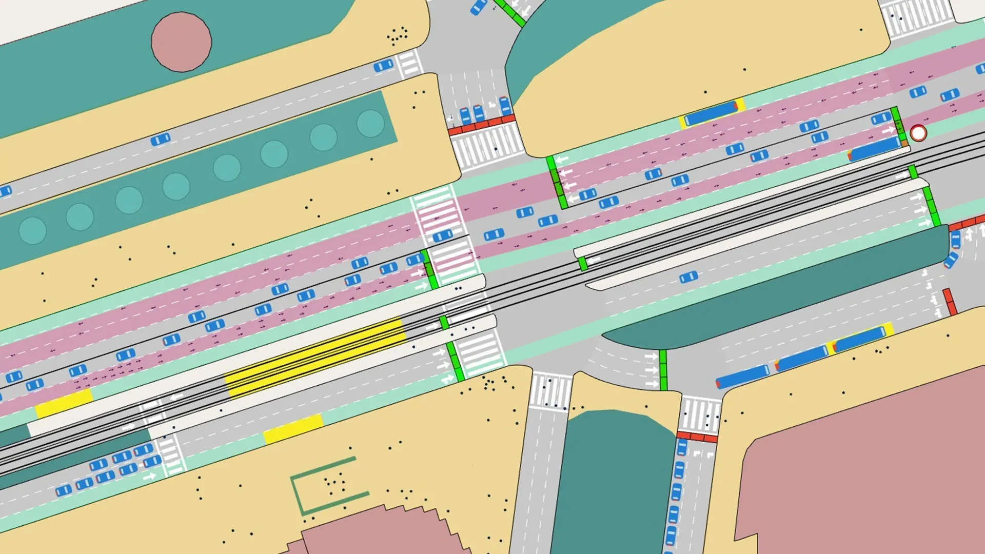
VisWalk from PTV is a pedestrian simulation tool specifically designed to assist railway station operators, city planners, architects and event managers in planning and coordinating their projects. The software allows planners to optimise pedestrian flows in and outside buildings.
January 31, 2012
Read time: 2 mins

VisWalk from PTV is a pedestrian simulation tool specifically designed to assist railway station operators, city planners, architects and event managers in planning and coordinating their projects. The software allows planners to optimise pedestrian flows in and outside buildings.
With VisWalk the capacity of railway and underground stations can be calculated, optimal walking routes for travellers identified, queuing behaviour at ticket counters assessed, evacuation analysis performed and shop locations analysed. During the planning phase it is also possible to use VisWalk to optimise railway station design based on these criteria. At the click of a button, the software tool visualises the simulation in 3D.
Software solution for pedestrian simulation According to PTV product manager Dr Tobias Kretz, a leading expert in pedestrian simulation, VisWalk models pedestrian behaviour like no other simulation software. "One of the special features is dynamic routing. Pedestrians, just as vehicle drivers, usually try to arrive at their destination as quickly as possible. Often the quickest route is very similar to the shortest route. However, there are situations where this rule does not apply. The simplest of which is when a large group of pedestrians is doing a u-turn," Kretz says.
"Therefore, VisWalk includes both shortest and quickest path routing in the simulation."


