Smart surveillance technology

The new release of PTV MapServer, based on COM, provides updated maps with toll tables and environmental zones which are taken into account during the routing process. The tool also includes new features for routing and logistical optimisation methods and allows users to easily embed digital maps, route calculation or other geo- functionalities.
February 27, 2012 Read time: 1 min
The new release of 3264 PTV MapServer, based on COM, provides updated maps with toll tables and environmental zones which are taken into account during the routing process. The tool also includes new features for routing and logistical optimisation methods and allows users to easily embed digital maps, route calculation or other geo- functionalities.

According to 3264 PTV, the new software, which is available for Windows environments, provides developers with a complete range of functions available to map&guide users.

For more information on companies in this article

Related Content

  • Cloud computing technology benefits GIS
    July 17, 2012
    Geographic Information Systems are a relatively late adopter of cloud computing,but the benefits of host services for geospatial data and analysis are becoming clear. Jason Barnes reports Both the concept and the reality of cloud computing have been around for some time. More and more industry sectors are entrusting external service providers with the provision of their computing services via the internet. However, the Geographic Information System (GIS) industry has been slow to embrace the trend. This is
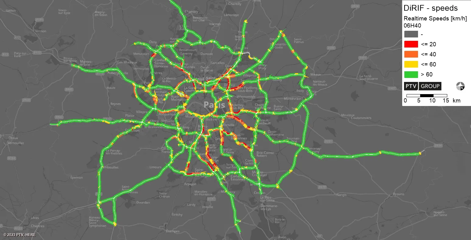
  • PTV provides precise data on Paris traffic
    July 31, 2023
    GPS location of vehicles travelling around French capital will be used to ease congestion
  • Smart technology keeps infrastructure operating safely
    August 30, 2013
    US Departments of Transportation (DOTs) are using smart technology to warn civil engineers when something is wrong with the infrastructure, says the American Association of State Highway and Transportation Association (AASHTO). Sensors installed on bridges, in roadways, and on maintenance vehicles are communicating real-time performance and weather data, allowing engineers to solve problems before they occur. "Most people look at a road or a bridge and never realise the technology that today's modern tra
  • Overture Maps releases its transportation dataset
    December 20, 2024
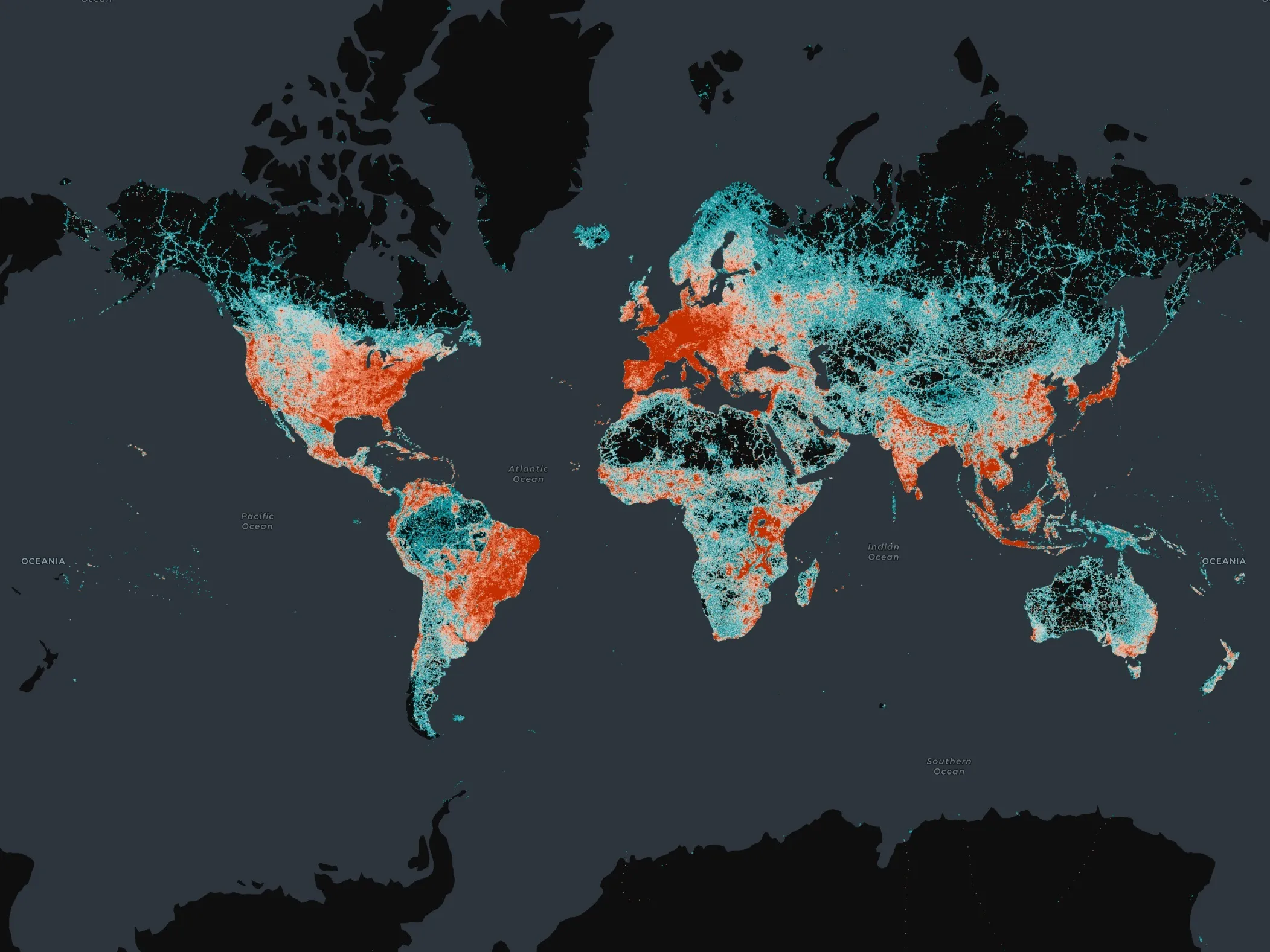
    Open-map dataset includes 86 million kilometres of roads worldwide