SkedGo adds Covid alert to MaaS app

SkedGo’s feature assesses crowd levels to see which routes have fewer people
By David Arminas May 12, 2020 Read time: 2 mins
SkedGo’s latest app feature is designed to make social distancing on public transport easier

Australia-based Mobility as a Service (MaaS) provider SkedGo has launched an occupancy safety-level feature for app developers that also sends out Covid-19 alerts.

The feature assesses crowding levels in order for passengers to see which routes are less crowded when they go to work or visit family, meaning a boost in confidence when choosing public transport, according to the company.

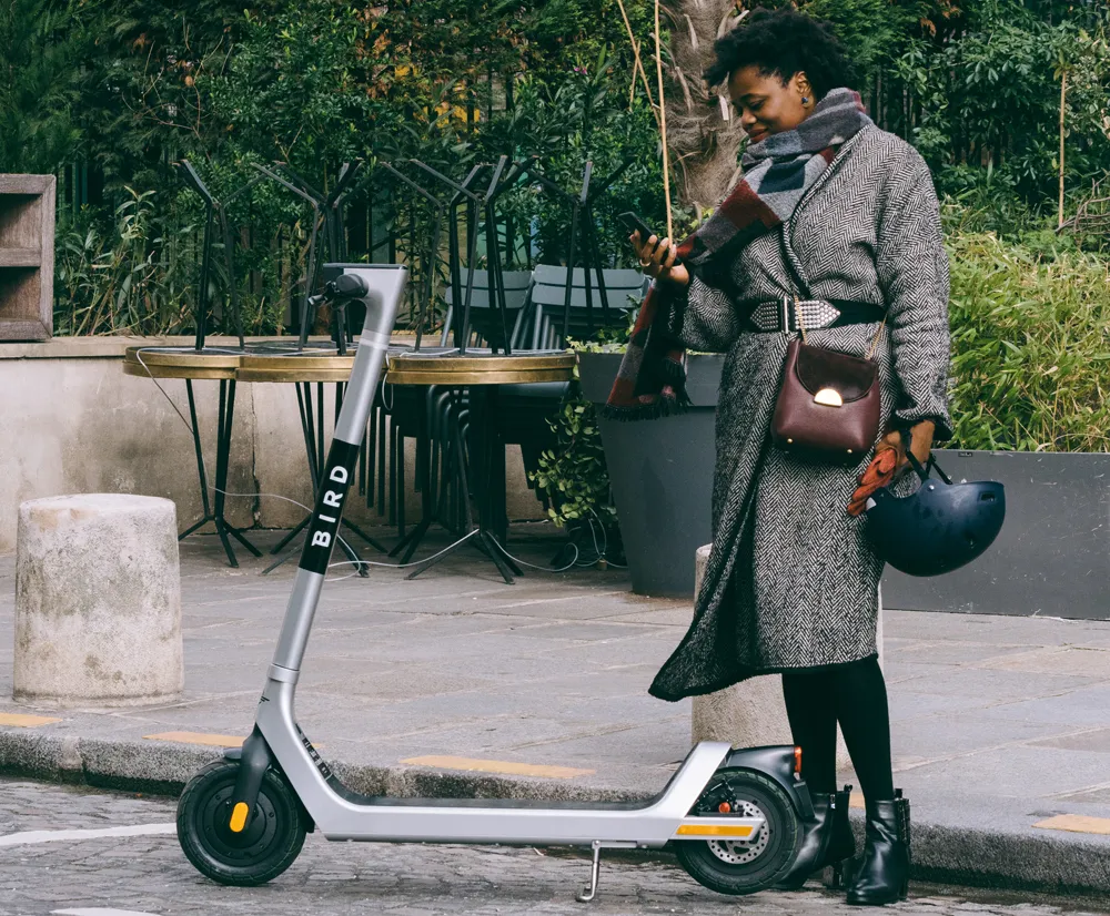
Passengers can choose quieter routes and carriages or switch to alternative forms of transport to maintain social distancing, such as cycling or e-scooters.

This has been trialled using open source data from Transport for New South Wales in Sydney, Australia. It can be rolled out worldwide, depending on data availability, says the company.

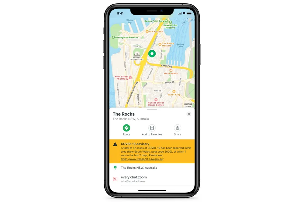
App developers and local transport authorities will also be able share government Covid-19 health alerts through SkedGo’s TripGo API [application programming interface] or SDK [software development kit] tools.

SkedGo’s occupancy feature and Covid-19 alerts use open source data from operators to present real-time information on passenger numbers, arrival times and service information, such as alternative boarding procedures for trains, buses, trams or ferries. In the future, information on cleanliness could also be introduced.

“Transport use is at a record low and recent research has found that 61% of passengers will feel wary using public transport after Covid-19 lockdown measures are lifted,” said John Nuutinen, chief executive of SkedGo.

“We truly believe technology can be a force for good, providing information to reduce the risk of exposure to the virus and protect the safety of all transport users. We are keen to share this tech with any city that can provide occupancy data from its public transport services.”

For more information on companies in this article

Related Content

  • Sony helps Rio get a better view of the Olympics
    June 29, 2016
    With the Olympics approaching, Sony’s Stephane Clauss examines how the latest camera technologies can help cities cope with the huge crowds attending major events. This August will see more than 10,000 athletes head to Rio de Janeiro for the Olympics Games. Alongside them will be their coaching staff, a hoard of logistics teams, thousands of volunteer marshals (London 2012 had 70,000) and millions of spectators. All such major events have nervous jitters on the way to the opening ceremony. This year has see
  • Autopilot highlights shape of Things
    March 30, 2020
    Driverless vehicles require rich data to operate safely, and a European consortium is harnessing the Internet of Things to help.
  • Google maps the future of traffic and travel information?
    March 16, 2012
    Will the relentless growth of Google lead to it becoming the ultimate provider of travel information services? Huw Williams investigates Google’s strategy and David Crawford discovers what two principal rivals are doing to keep pace. In the first weeks of 2012 one company staked two divergent claims on the future of transport. One is the science fiction of only a decade ago, turned into reality: the driverless car. The other seems more prosaic, yet in its own way is just as significant a marker of the futur
  • Bird helps riders maintain social distancing 
    November 10, 2020
    Commuter pricing option provides discounts at peak congestion times