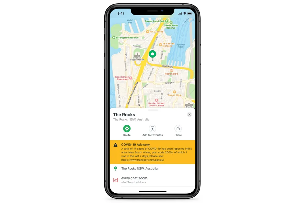
Australia-based Mobility as a Service (MaaS) provider SkedGo has launched an occupancy safety-level feature for app developers that also sends out Covid-19 alerts.
The feature assesses crowding levels in order for passengers to see which routes are less crowded when they go to work or visit family, meaning a boost in confidence when choosing public transport, according to the company.
Passengers can choose quieter routes and carriages or switch to alternative forms of transport to maintain social distancing, such as cycling or e-scooters.
This has been trialled using open source data from Transport for New South Wales in Sydney, Australia. It can be rolled out worldwide, depending on data availability, says the company.
App developers and local transport authorities will also be able share government Covid-19 health alerts through SkedGo’s TripGo API [application programming interface] or SDK [software development kit] tools.
SkedGo’s occupancy feature and Covid-19 alerts use open source data from operators to present real-time information on passenger numbers, arrival times and service information, such as alternative boarding procedures for trains, buses, trams or ferries. In the future, information on cleanliness could also be introduced.
“Transport use is at a record low and recent research has found that 61% of passengers will feel wary using public transport after Covid-19 lockdown measures are lifted,” said John Nuutinen, chief executive of SkedGo.
“We truly believe technology can be a force for good, providing information to reduce the risk of exposure to the virus and protect the safety of all transport users. We are keen to share this tech with any city that can provide occupancy data from its public transport services.”


