Satellite maps for Networkfleet

Networkfleet has announced the availability of high-resolution satellite and hybrid maps in its flagship Networkfleet wireless fleet management system. The new mapping capability gives fleet managers the ability to observe vehicles in a real-world setting with 3D earth imagery. According to the company, this new functionality provides a more accurate and realistic depiction of a vehicle's location and its geographical surroundings.
February 3, 2012 Read time: 1 min
2251 Networkfleet has announced the availability of high-resolution satellite and hybrid maps in its flagship Networkfleet wireless fleet management system. The new mapping capability gives fleet managers the ability to observe vehicles in a real-world setting with 3D earth imagery. According to the company, this new functionality provides a more accurate and realistic depiction of a vehicle's location and its geographical surroundings.

For more information on companies in this article

Related Content

  • Virginia Automated Corridors unveiled
    June 3, 2015
    The Virginia Automated Corridors, a new initiative that its developers claim will revolutionise the development and deployment of automated vehicles, has been unveiled on more than 70 miles of interstates and arterial roads in the Northern Virginia region. The Corridors were established by the Virginia Tech Transportation Institute in partnership with the Virginia Department of Transportation; the Virginia Department of Motor Vehicles; Transurban; and Here, Nokia’s mapping business in support of the tran
  • Sensor solutions cuts maintenance and emissions
    December 8, 2014
    The new raft of sensor technology can provide cost savings as well as additional functionality, as David Crawford discovers. Austria’s third-largest city, Linz, with a population of around 200,000, is recording substantial savings in its urban tram network within 18 months of introducing a new, high-technology approach to its public transport management. Tram, bus and trolleybus operator Linz Linien forms part of city utilities management company Linz AG, which has been carrying out a wide-ranging Smart Cit
  • TomTom GO launched
    May 31, 2013
    TomTom has completely redesigned its portable navigation device (PND) to introduce the new TomTom Go. An interactive map enables drivers to easily access the travel information they need via a high-resolution, capacitive touch- screen. The 3D maps bring buildings and landmarks to life to give drivers a view of precisely what is going on around them, as well as what lies ahead.
  • Iteris & Continental join forces on V2X
    December 8, 2021
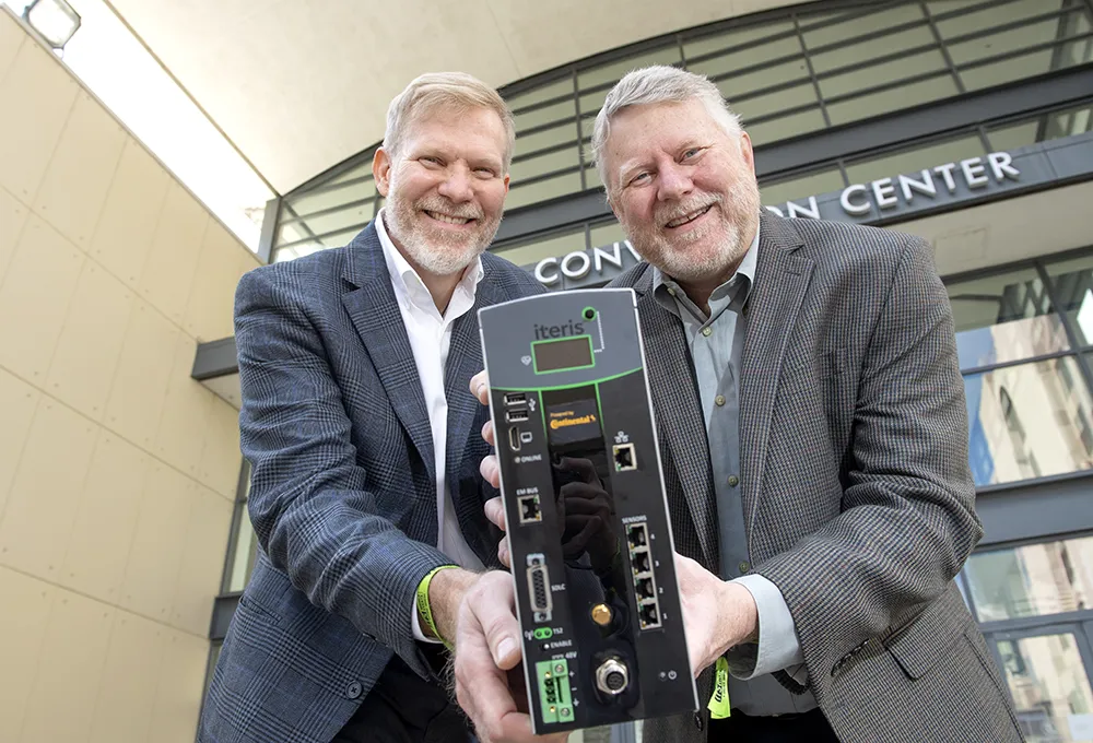
    Iteris and Continental are showcasing their new Vehicle to Everything (V2X)-enabled detection solution, Vantage Fusion, here at this year’s ITS America Annual Meeting.