Satellite maps for Networkfleet

Networkfleet has announced the availability of high-resolution satellite and hybrid maps in its flagship Networkfleet wireless fleet management system. The new mapping capability gives fleet managers the ability to observe vehicles in a real-world setting with 3D earth imagery. According to the company, this new functionality provides a more accurate and realistic depiction of a vehicle's location and its geographical surroundings.
February 3, 2012 Read time: 1 min
2251 Networkfleet has announced the availability of high-resolution satellite and hybrid maps in its flagship Networkfleet wireless fleet management system. The new mapping capability gives fleet managers the ability to observe vehicles in a real-world setting with 3D earth imagery. According to the company, this new functionality provides a more accurate and realistic depiction of a vehicle's location and its geographical surroundings.

For more information on companies in this article

Related Content

  • Bridging the highway travel information gap
    March 14, 2012
    A new traffic management solution is attempting to bridge the gap in information available on freeways and arterial roadways. Andrew Bardin Williams reports. Agencies responsible for national networks of roads around the world have the ability to measure, analyse and disseminate accurate travel information to drivers. Millions of dollars go into data collection infrastructure to collect traffic congestion and travel time information on major freeways or highways. For example, a driver on the I-210 in the Lo
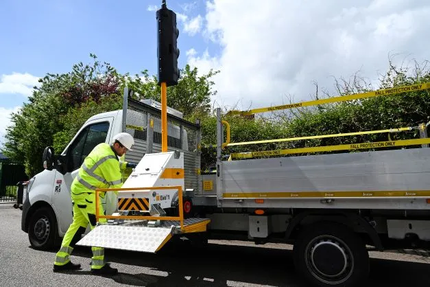
  • Evo 1 gets Traffic Group on the move
    July 1, 2022
    AutoGreen has also been incorporated as standard and now supports pedestrian crossings
  • Xerox wins $14.5 million contract with Calgary Transit
    March 22, 2012
    Bus schedules in the Canadian city of Calgary will be more accurate and predictable as Xerox installs a new intelligent transportation system made up of computer-aided dispatch and vehicle location technologies. As part of a two and a half year, US$14.5 million contract, the computer-aided dispatch and automatic vehicle location (CAD/AVL) system will help Calgary Transit improve fleet management and on-time arrivals. Xerox will install the new system so Calgary Transit can track and dispatch all 986 buses a
  • Paragon’s latest software aids low bridge avoidance
    November 6, 2012
    UK-headquartered Paragon Software Systems has developed a low bridge avoidance mapping option for all UK versions of its routing and scheduling optimisation software. The optional Navteq mapping functionality eliminates the need to enter bridge height data manually into Paragon, simplifying and streamlining the creation of cost-effective, feasible transport plans that enable high vehicles to avoid low bridges on British roads. Users can enter their own bridge height data if necessary, but with this new opti