PTV MapServer 5.4

The new release of PTV MapServer, based on COM, provides updated maps with toll tables and environmental zones which are taken into account during the routing process. The tool also includes new features for routing and logistical optimisation methods and allows users to easily embed digital maps, route calculation or other geo-functionalities.
July 25, 2012 Read time: 1 min
RSSThe new release of 3264 PTV MapServer, based on COM, provides updated maps with toll tables and environmental zones which are taken into account during the routing process. The tool also includes new features for routing and logistical optimisation methods and allows users to easily embed digital maps, route calculation or other geo- functionalities.

According to PTV, the new software, which is available for Windows environments, provides developers with a complete range of functions available to map&guide users.

For more information on companies in this article

Related Content

  • Parking companies join forces to offer comprehensive parking services
    December 23, 2015
    Mobile parking payments specialist PayByPhone has joined forces with parking location and reservations provider ParkJockey to deliver a comprehensive set of off-street and on-street parking services to parking authorities, parking operators and consumers. PayByPhone will integrate ParkJockey’s off street parking location and reservation services into its paybyphone mobile app. In turn, ParkJockey will integrate PayByPhone mobile payment services into the ParkJockey app. The partnership will initially focus
  • Overture Maps releases its transportation dataset
    December 20, 2024
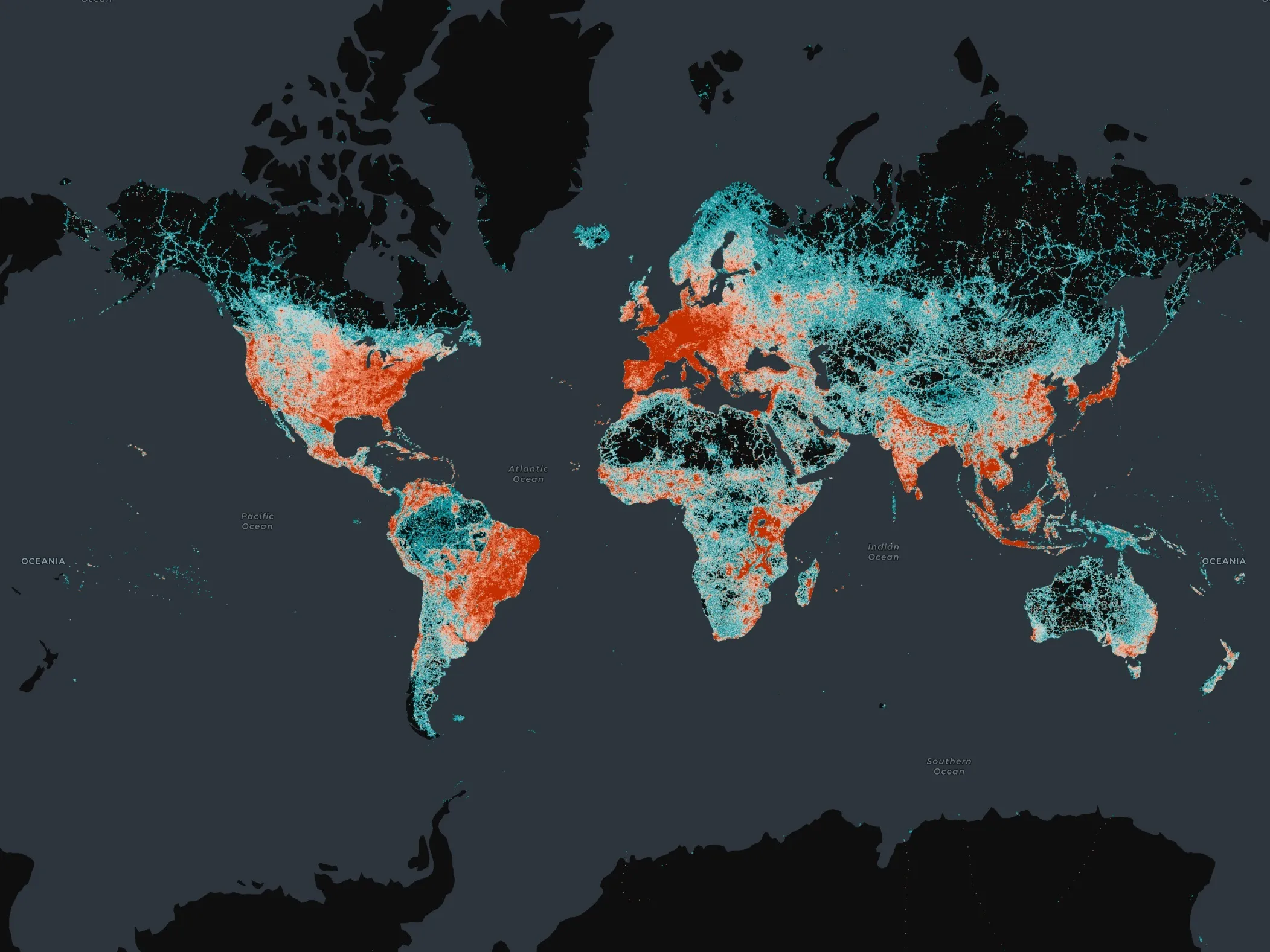
    Open-map dataset includes 86 million kilometres of roads worldwide
  • TomTom launches speed camera app for iPhone
    May 8, 2012
    TomTom in Europe has releases a speed camera app for the iPhone, Powered by European driving community with 1.6 million drivers in 15 countries, the app informs drivers of their speed, the speed limit, the type of camera ahead and the remaining distance to reach it. A colour-coded warning system quickly and effectively alerts users if they need to slow down.
  • Leicester University’s HGV navigation app takes to the road
    September 15, 2015
    University of Leicester scientists will demonstrate a new application to help HGV drivers find safe routes in urban areas at a roadshow showcasing new technologies that aim to minimise traffic congestion, noise and air pollution. On Wednesday 16 September, the University of Leicester will host the inaugural roadshow for SATURN (SATellite applications for URbaN mobility) where an innovative geo-information platform and four demonstrator solutions are set to be showcased. The roadshow will then trav