No limits for One.network SaaS data

Platform aims to free up siloed road agency information in US
By Adam Hill October 8, 2020 Read time: 2 mins
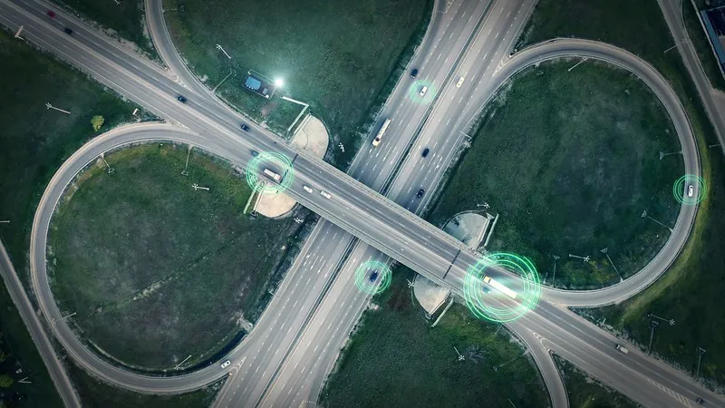
SaaS platform aims to give DoTs a fuller picture (© Ded Mityay | Dreamstime.com)

Traffic mapping software provider One.network is launching in the US.

The cloud-hosted Software as a Service (SaaS) platform is already widely used by UK road agencies.

One.network changes gathers local data and transmits live road closure and other interruption information to GPS systems in real time.

As well as transportation authorites, it is aimed at utility companies, road contractors and event organisers.

The firm says: "Road construction information has typically been siloed in hundreds of road agency databases. As a result, coordination between authorities has often been lacking and communication of upcoming closures and disruptions to GPS services has been poor or limited to a single provider."

The one.network platform can report traffic interruptions direct to commuters on the road - and the company says it can also be used to help road agencies coordinate their infrastructure projects.

Potential transport issues arising from road closures, detours, public events and political demonstrations can be communicated to the public and other agencies as well via the internet, social media and GPS.

“This is an unprecedented time of change for US roadways," says CEO James Harris. 

"As we face a new world of driverless truck commerce and vehicles, as well as a new wave of infrastructure projects affecting the highway system, road officials, and road agencies nationwide have a greater need for inter-agency communication and collaboration."

The company insists it can be an out-of-the-box solution for Departments of Transportation to comply with the federal Work Zone Data Initiative (WDZI), which was created to facilitate easier sharing of work zone activities.

Related Content

  • April 6, 2018
    The importance of going with the flow
    Ensuring worker safety and up-to-date driver information is crucial to ensure that roadworks are not a source of danger and delay. Andrew Williams looks at a scheme on the A14 in Cambridgeshire, UK. In recent years, portable workzone ITS solutions have emerged as important tools in the management of major roadworks and system upgrade projects - and are viewed as an increasingly vital means of ensuring any ongoing traffic flow disruption is kept to a minimum. The technology forms a central component of an
  • July 17, 2012
    Cloud computing technology benefits GIS
    Geographic Information Systems are a relatively late adopter of cloud computing,but the benefits of host services for geospatial data and analysis are becoming clear. Jason Barnes reports Both the concept and the reality of cloud computing have been around for some time. More and more industry sectors are entrusting external service providers with the provision of their computing services via the internet. However, the Geographic Information System (GIS) industry has been slow to embrace the trend. This is
  • January 30, 2012
    UK government to investigate best practice for travel information
    The UK Government has been advised by an internal inquiry that it should investigate examples of best practice in travel information services. So where might it look? Jon Masters reports. Publication of a UK Government report on road congestion this year has highlighted a need to look beyond home borders when searching out answers to pressing problems. With regard to issues of travel information in particular, UK transport professionals would do well to look overseas for solutions they can emulate.
  • May 31, 2013
    Data goldmines offer rich pickings
    Astronomical is not too grand a term to describe the current rate of growth in transportation-related data. Massive amounts of traffic related information, such as speed, volume, incidents and weather are being generated every second by road operators and users alike. Big data’ derives its name from the sheer amount and complexity of available raw data. Its potential value is starting to emerge among the intelligent transportation systems community. A gold rush is taking place to capture this value, with da