No limits for One.network SaaS data

Platform aims to free up siloed road agency information in US
By Adam Hill October 8, 2020 Read time: 2 mins
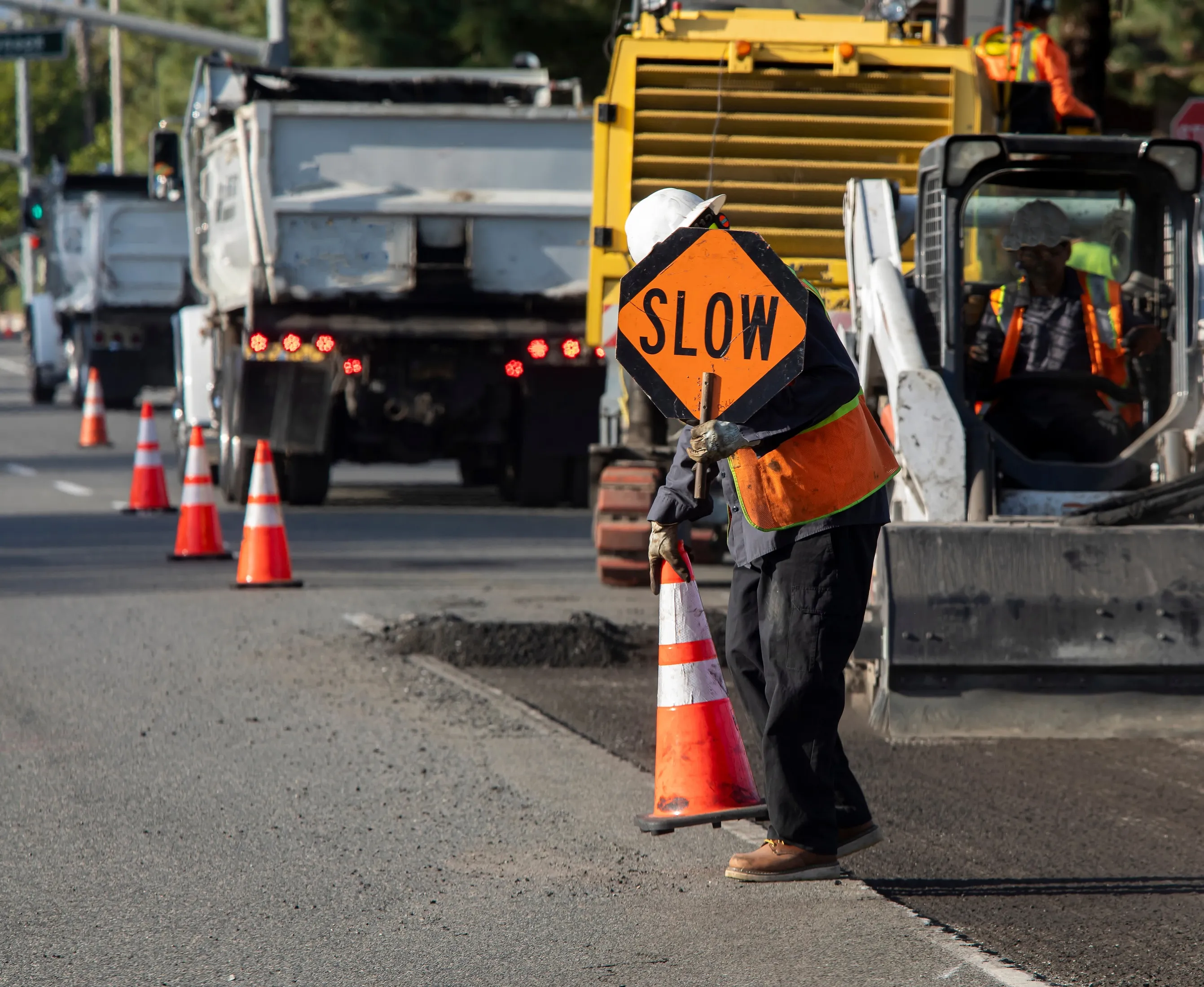
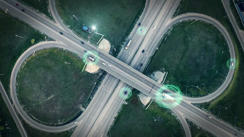
SaaS platform aims to give DoTs a fuller picture (© Ded Mityay | Dreamstime.com)

Traffic mapping software provider One.network is launching in the US.

The cloud-hosted Software as a Service (SaaS) platform is already widely used by UK road agencies.

One.network changes gathers local data and transmits live road closure and other interruption information to GPS systems in real time.

As well as transportation authorites, it is aimed at utility companies, road contractors and event organisers.

The firm says: "Road construction information has typically been siloed in hundreds of road agency databases. As a result, coordination between authorities has often been lacking and communication of upcoming closures and disruptions to GPS services has been poor or limited to a single provider."

The one.network platform can report traffic interruptions direct to commuters on the road - and the company says it can also be used to help road agencies coordinate their infrastructure projects.

Potential transport issues arising from road closures, detours, public events and political demonstrations can be communicated to the public and other agencies as well via the internet, social media and GPS.

“This is an unprecedented time of change for US roadways," says CEO James Harris. 

"As we face a new world of driverless truck commerce and vehicles, as well as a new wave of infrastructure projects affecting the highway system, road officials, and road agencies nationwide have a greater need for inter-agency communication and collaboration."

The company insists it can be an out-of-the-box solution for Departments of Transportation to comply with the federal Work Zone Data Initiative (WDZI), which was created to facilitate easier sharing of work zone activities.

Related Content

  • April 17, 2023
    Reducing injuries and deaths in US workzones shouldn’t be this complicated
    In National Work Zone Awareness Week, surely the least we can do is to help get road workers home safely at the end of the day, says One.network's boss
  • July 8, 2024
    Workzone safety requires timeliness and transparency, says Causeway One.network
    Digitising the roadways will be key to publishing real-time data with navigation apps – and it is not a distant dream but an achievable reality, insists Kieran Holloway of Causeway One.network
  • January 30, 2012
    GIS mapping smoothes ITS operations and increases efficiencies
    Alexander Gerschenkron, the famous economic historian, once posited a benefit for those countries which come late to economic development: that they could introduce the latest technology and thus jump over some of the standard development paths followed by their predecessors . It is entirely possible to make the same observation of late-comers to ITS: that they can gain from the pains of those who went before and more easily implement best practice in ITS. As a consequence, it is entirely likely the Abu Dha
  • January 20, 2012
    Social media a one-stop shop for travel information
    Exponentially widening mobile phone ownership is opening up the field to new ways of obtaining and disseminating better travel information from and to public transport users, via for example social media and tracking riders' phones. Over 50 US transit agencies, including major actors such as TriMet, in the metropolitan area of Portland, Oregon, Dallas Area Rapid Transit in Texas, and San Francisco's Bay Area Rapid Transit District (BART), as well as smaller operators, now have Facebook and/or Twitter accoun