No limits for One.network SaaS data

Platform aims to free up siloed road agency information in US
By Adam Hill October 8, 2020 Read time: 2 mins
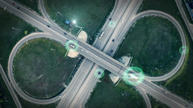
SaaS platform aims to give DoTs a fuller picture (© Ded Mityay | Dreamstime.com)

Traffic mapping software provider One.network is launching in the US.

The cloud-hosted Software as a Service (SaaS) platform is already widely used by UK road agencies.

One.network changes gathers local data and transmits live road closure and other interruption information to GPS systems in real time.

As well as transportation authorites, it is aimed at utility companies, road contractors and event organisers.

The firm says: "Road construction information has typically been siloed in hundreds of road agency databases. As a result, coordination between authorities has often been lacking and communication of upcoming closures and disruptions to GPS services has been poor or limited to a single provider."

The one.network platform can report traffic interruptions direct to commuters on the road - and the company says it can also be used to help road agencies coordinate their infrastructure projects.

Potential transport issues arising from road closures, detours, public events and political demonstrations can be communicated to the public and other agencies as well via the internet, social media and GPS.

“This is an unprecedented time of change for US roadways," says CEO James Harris. 

"As we face a new world of driverless truck commerce and vehicles, as well as a new wave of infrastructure projects affecting the highway system, road officials, and road agencies nationwide have a greater need for inter-agency communication and collaboration."

The company insists it can be an out-of-the-box solution for Departments of Transportation to comply with the federal Work Zone Data Initiative (WDZI), which was created to facilitate easier sharing of work zone activities.

Related Content

  • Road safety systems on show at ITS World Congress
    January 30, 2012
    A vast array of new products and systems for aiding road safety were displayed at the ITS World Congress in October. David Crawford assesses a selection of safety initiatives exhibited in Orlando. Vital roles for ITS applications in road traffic safety emerge clearly from a new report from the US Transportation Safety Advancement Group. The report has been carried out for the Next Generation 911 What's Next Forum, which is preparing the way for future development of the US national 911 emergency single call
  • Want intelligent transit? Then share data
    March 2, 2022
    How will the US deploy intelligent transit networks that enable connected vehicles? Data sharing is crucial if urban mobility users are to benefit, explains Timothy Menard of Lyt
  • Car parking and parked cars need not be a technological black hole
    March 19, 2015
    David Crawford mines the potential of joined-up parking. Drivers conventionally see parking as an isolated, often frustrating, action; but collectively their attempts to find a space impact hugely on traffic flows. But new analyses of parking events look set to deliver real benefits to motorists and cities alike. Initiatives getting under way around the world are highlighting the advantages of connecting up parking events and – eventually - parked cars. The hoped-for results include not only enhanced urban
  • B&C Transit modernises Miami-Dade Metrorail’s control systems
    June 1, 2016
    Jason Gomez and Daniel Mondesir describe how passenger disruption was minimised during a major upgrading of the control room of Miami-Dade’s Metrorail. In 1984 when the Miami-Dade Department of Transportation and Public Works’ (DTPW) Metrorail system was launched in southern Florida, trains ran 18km along a single line and stopped at 10 stations.