No limits for One.network SaaS data

Platform aims to free up siloed road agency information in US
By Adam Hill October 8, 2020 Read time: 2 mins
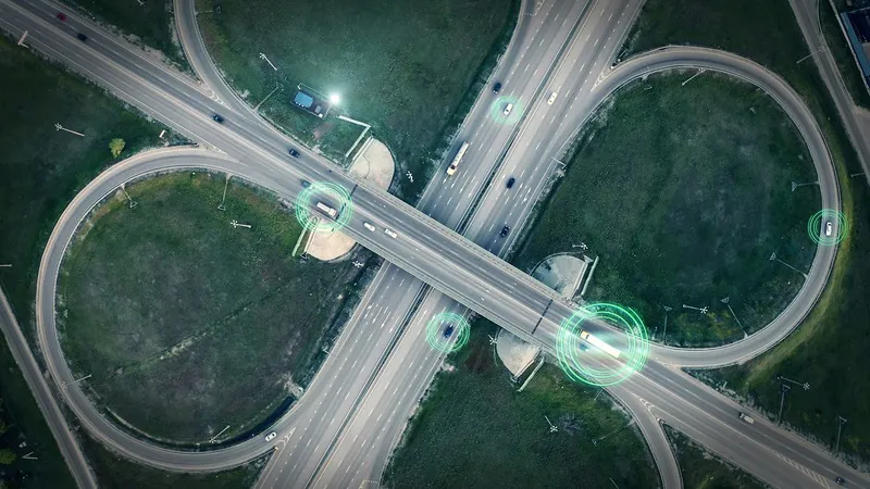
SaaS platform aims to give DoTs a fuller picture (© Ded Mityay | Dreamstime.com)

Traffic mapping software provider One.network is launching in the US.

The cloud-hosted Software as a Service (SaaS) platform is already widely used by UK road agencies.

One.network changes gathers local data and transmits live road closure and other interruption information to GPS systems in real time.

As well as transportation authorites, it is aimed at utility companies, road contractors and event organisers.

The firm says: "Road construction information has typically been siloed in hundreds of road agency databases. As a result, coordination between authorities has often been lacking and communication of upcoming closures and disruptions to GPS services has been poor or limited to a single provider."

The one.network platform can report traffic interruptions direct to commuters on the road - and the company says it can also be used to help road agencies coordinate their infrastructure projects.

Potential transport issues arising from road closures, detours, public events and political demonstrations can be communicated to the public and other agencies as well via the internet, social media and GPS.

“This is an unprecedented time of change for US roadways," says CEO James Harris. 

"As we face a new world of driverless truck commerce and vehicles, as well as a new wave of infrastructure projects affecting the highway system, road officials, and road agencies nationwide have a greater need for inter-agency communication and collaboration."

The company insists it can be an out-of-the-box solution for Departments of Transportation to comply with the federal Work Zone Data Initiative (WDZI), which was created to facilitate easier sharing of work zone activities.

Related Content

  • November 15, 2024
    How ITS helped Coachella get its groove back
    California’s Coachella Valley attracts visitors to myriad music and sports events. But now an ambitious traffic management initiative aims to cut travel times and reduce emissions. Adam Hill talks to the engineers involved in the massive CV Sync project
  • January 26, 2012
    GIS-based state of the art emergency response, damage recovery
    The gecko is one of several members of the lizard family which demonstrate autotomy: the ability to re-grow a tail or some other appendage lost during a time of peril. The GITA's GECCo programme is looking to give US infrastructures much the same capability
  • May 3, 2012
    Cost saving multi-agency transportation and emergency management
    Although the recession had dramatically reduced traffic volumes in the past few years, the economy was on the brink of a recovery that portended well for jobs but poorly for traffic congestion. Leaders of four government agencies in Houston, Texas, got together to discuss how to collectively cope with the expected increase in vehicles on the road. "They knew they couldn't pour enough concrete to solve the problem, and they also knew the old model of working in a vacuum as standalone entities would fail," sa
  • March 23, 2015
    Big data and open governments ‘will spur developments in smart cities’
    Smart cities are going to be amazing community hubs that will be more sustainable, efficient and supportive of citizens, according to a new report, Australia - Smart Cities - People, Transport, Cars, Buildings from reportbuyer.com. The concept of smart communities is based on intelligent infrastructure such as broadband (FttP) and smart grids, so that connected and sustainable communities can be developed. However, they cannot be built within the silo structure that currently dominates our thinking; a holis