Luna unveils ‘cm-level’ positioning for e-scooters

Dublin-based start-up Luna has released a telematic device which it says uses 10cm-level positioning accuracy to help scooter companies ensure their scooters are ridden and parked correctly.
February 17, 2020 Read time: 1 min
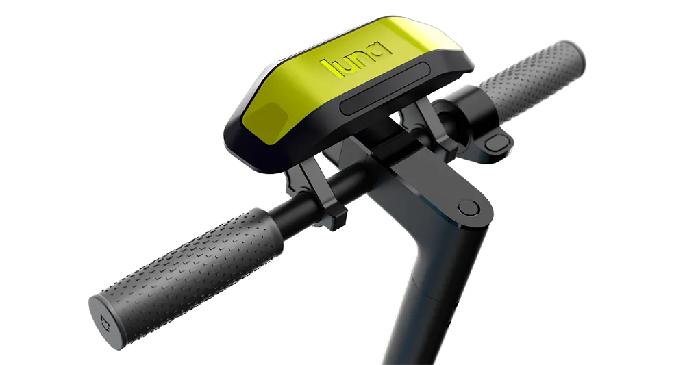
Luna escooter

The device uses GNSS/GPS positioning with an integrated correction service to achieve this accuracy. It also uses machine vision and artificial intelligence (AI) to recognise parking spaces in GPS blackspots via 2D images (QR codes) located in and around the site, the company adds.

According to Luna, the device augments satellite-based positioning with machine vision and AI to overcome GPS blackspots while moving. The unit’s street Vs pavement algorithm allows the scooter camera to analyse the surface it is riding in real time.

Luna’s safety features include obstacle/footpath recognition to prevent pedestrian collisions as well as helmet detection to ensure scooters can only be operated once a rider is wearing their helmet.

Related Content

  • Nauto unveils video-enhanced driver distraction detection feature
    May 5, 2017
    US transportation technology company Nauto has upgraded its Nauto 2 system to detect distracted driving, an aftermarket platform that uses video and artificial intelligence to detect whenever a driver’s eyes divert from the road or engage in other distracted behaviour. It then automatically uploads it and scores the event’s severity via a secure app. Nauto is an automotive data platform powered by artificial intelligence and an after-market dual-camera device, which can equip any vehicle or fleet with sophi
  • Cohda Wireless: 'New York has the best urban canyons'
    July 21, 2020
    Dr Paul Alexander, chief technical officer of Cohda Wireless, talks to Adam Hill about DSRC versus C-V2X, global connected vehicle take-up, the uses of WiFi – and, of course, seeing round the Big Apple's buildings...
  • Satellite based goods vehicle tracking comes a step closer
    March 15, 2012
    A project aimed at proving the viability of satellite-based goods tracking in Europe has come to a close – establishing everything necessary for commercial services to flourish. A landmark stage was reached in tracking of goods across Europe in December last year, with conclusion of the Scutum project – ‘Securing the EU GNSS adoption in transport of dangerous materials’. This has validated the accuracy and reliability of the European Geostationary Navigation Overlay Service (EGNOS) for goods tracking and se
  • Data handling important for autonomous vehicles
    December 8, 2016
    Data handling is becoming an ever-greater part of transportation and never more so than with autonomous vehicles, as Andrew Bardin Williams hears from some big names.