Luna unveils ‘cm-level’ positioning for e-scooters

Dublin-based start-up Luna has released a telematic device which it says uses 10cm-level positioning accuracy to help scooter companies ensure their scooters are ridden and parked correctly.
February 17, 2020 Read time: 1 min
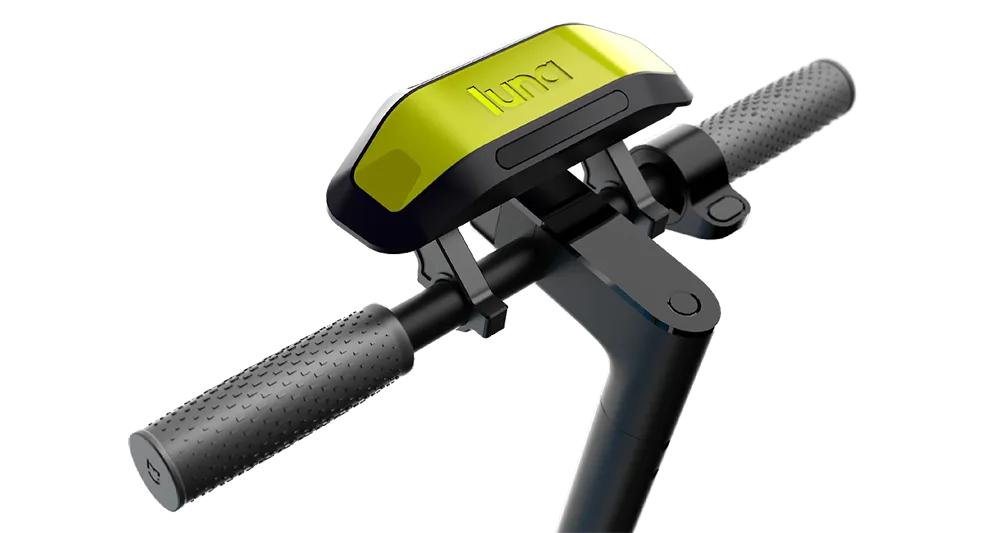
Luna escooter

The device uses GNSS/GPS positioning with an integrated correction service to achieve this accuracy. It also uses machine vision and artificial intelligence (AI) to recognise parking spaces in GPS blackspots via 2D images (QR codes) located in and around the site, the company adds.

According to Luna, the device augments satellite-based positioning with machine vision and AI to overcome GPS blackspots while moving. The unit’s street Vs pavement algorithm allows the scooter camera to analyse the surface it is riding in real time.

Luna’s safety features include obstacle/footpath recognition to prevent pedestrian collisions as well as helmet detection to ensure scooters can only be operated once a rider is wearing their helmet.

Related Content

  • Sony helps Rio get a better view of the Olympics
    June 29, 2016
    With the Olympics approaching, Sony’s Stephane Clauss examines how the latest camera technologies can help cities cope with the huge crowds attending major events. This August will see more than 10,000 athletes head to Rio de Janeiro for the Olympics Games. Alongside them will be their coaching staff, a hoard of logistics teams, thousands of volunteer marshals (London 2012 had 70,000) and millions of spectators. All such major events have nervous jitters on the way to the opening ceremony. This year has see
  • Reversible express lanes and open road tolling combat congestion
    March 2, 2012
    Teri England, Diamond Consulting Services, details the construction of construction of a world first - reversible express lanes with cashless multi-lane ORT - on the Tampa Hillsborough Expressway
  • Technology holds the key to painless parking
    March 21, 2014
    Parking has been the most innovative of all the transportation sectors in the past five years. Richard Harris, Solution Director, Xerox Services outlines some of the key drivers and trends
  • Toyota enters partnership to build HD maps for AVs from space
    May 3, 2019
    Toyota Research Institute-Advanced Development (TRI-AD), technology company Maxar Technologies and NTT Data are working together to build high-definition (HD) maps for autonomous vehicles (AV) using satellite imagery. TRI-AD carried out an analysis, saying that current HD maps cover less than 1% of the global road network and there is a need to broaden the coverage of urban areas and local roads before AVs can become a mainstream mobility technology. A HD map created from satellite imagery would all