The UK’s Transport Research Laboratory (TRL) has launched MAAPcloud, the new generation of its MAAP road traffic collision data software which it says provides a better fit with today’s technological environments, and offers additional capabilities. MAAPcloud’s design allows flexible deployment; police forces, local authorities and other agencies can share a system and reduce costs, creating opportunities for cross-border and regional collaboration and data sharing. The online environment provides authorise

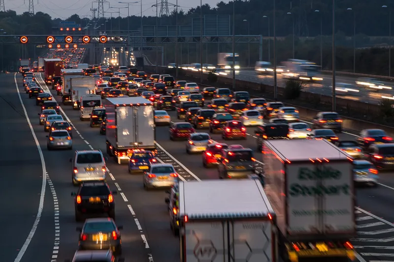
The UK’s Transport Research Laboratory (491 TRL) has launched MAAPcloud, the new generation of its MAAP road traffic collision data software which it says provides a better fit with today’s technological environments, and offers additional capabilities.
MAAPcloud’s design allows flexible deployment; police forces, local authorities and other agencies can share a system and reduce costs, creating opportunities for cross-border and regional collaboration and data sharing. The online environment provides authorised users with access to powerful analytical tools; data, including the latest collision and casualty figures, are made available to all relevant users as soon as they are released.
With the UK Government committed to expanding the use of cloud technologies in the public sector, authorities are considering how this new way of working provides opportunities for collaboration.