CartoConsult delivers instant smart city models with web streaming

CartoConsult has added a subscription service that delivers smart 3D building and city models via live web streaming to any internet connected device. Using Cesiumjs, a cross-platform open architecture, dynamic-data visualisation package which requires no plug-in to run in a web browser, CartoConsult believes the new web streaming capability will significantly boost the appeal of applying 3D capability to projects.
August 10, 2016 Read time: 1 min

CartoConsult has added a subscription service that delivers smart 3D building and city models via live web streaming to any internet connected device.

Using Cesiumjs, a cross-platform open architecture, dynamic-data visualisation package which requires no plug-in to run in a web browser, CartoConsult believes the new web streaming capability will significantly boost the appeal of applying 3D capability to projects.

Potential users such as urban planners, developers and engineers will no longer need special software to view the models. The data is still fully compatible with GIS, CAD and other mapping software with 3D capabilities, but it is no longer a requirement for viewing the data.

Related Content

  • Getting to the point
    September 4, 2018
    Cars are starting to learn to understand the language of pointing – something that our closest relative, the chimpanzee, cannot do. And such image recognition technology has profound mobility implications, says Nils Lenke Pointing at objects – be it with language, using gaze, gestures or eyes only – is a very human ability. However, recent advances in technology have enabled smart, multimodal assistants - including those found in cars - to action similar pointing capabilities and replicate these human qual
  • C/AVs could mean cheaper roads
    October 28, 2019
    The safety benefits of C/AVs have long been promoted – but research suggests they should also contribute to cheaper roads. David Crawford investigates the potential benefits in infrastructure costs Building narrower freeway lanes to accommodate the enhanced route-tracking capabilities of connected and autonomous vehicles (C/AVs), running in platoon conditions, could result in cost savings of £0.5 million (€0.56 million or US$6.5 million) for every km of road length built. Such benefits could be secur
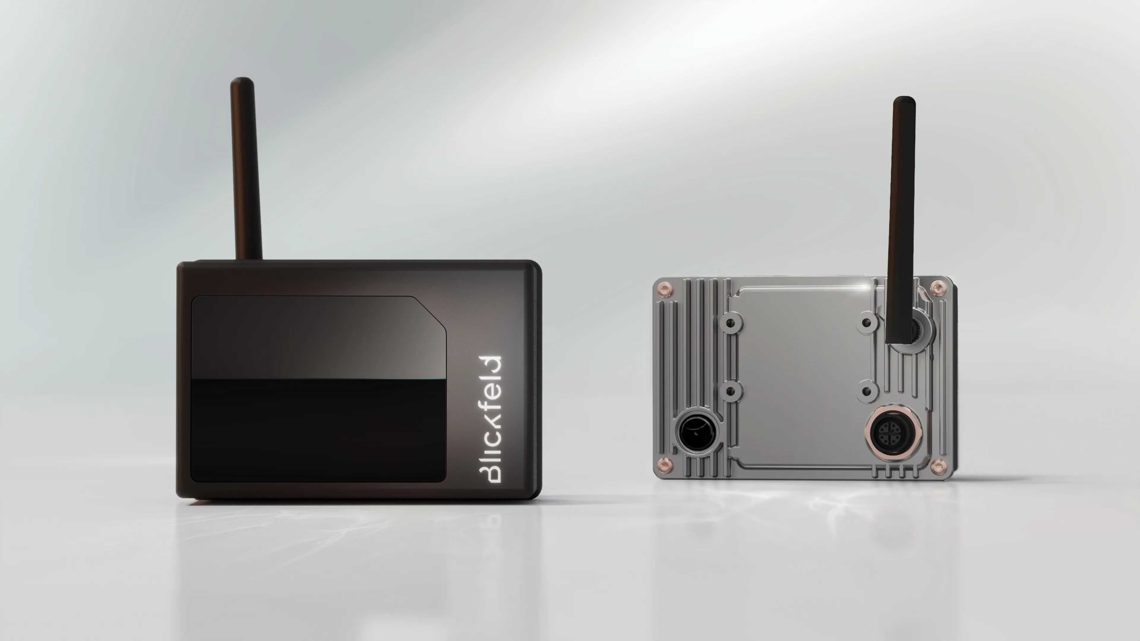
  • Blickfield delivers Qb2 Lidar
    November 11, 2022
    Device can be used in smart infrastructure and traffic monitoring applications
  • Here beats Google as world’s leading location platform, says Ovum
    August 23, 2018
    Here Technologies has toppled Google as the world’s leading location platform, according to a new report. The Dutch mapping company’s price plan appears more developer-friendly and competitive than the Google Maps model, says analyst Ovum. Location Platform Index: Mapping and Navigation ranked 14 major location platform vendors according to their mapping and technology as well as the size of their reach across the developer communities and industries. Here’s Freemium model is intended to lower price