
Aimsun launches free Viewer for mobility simulations

Aimsun has launched a free tool which will make it easier for people working from home to see modelling output from the company’s Next software.
By Adam Hill April 27, 2020 Read time: 1 min
Remote working: Aimsun Next Viewer

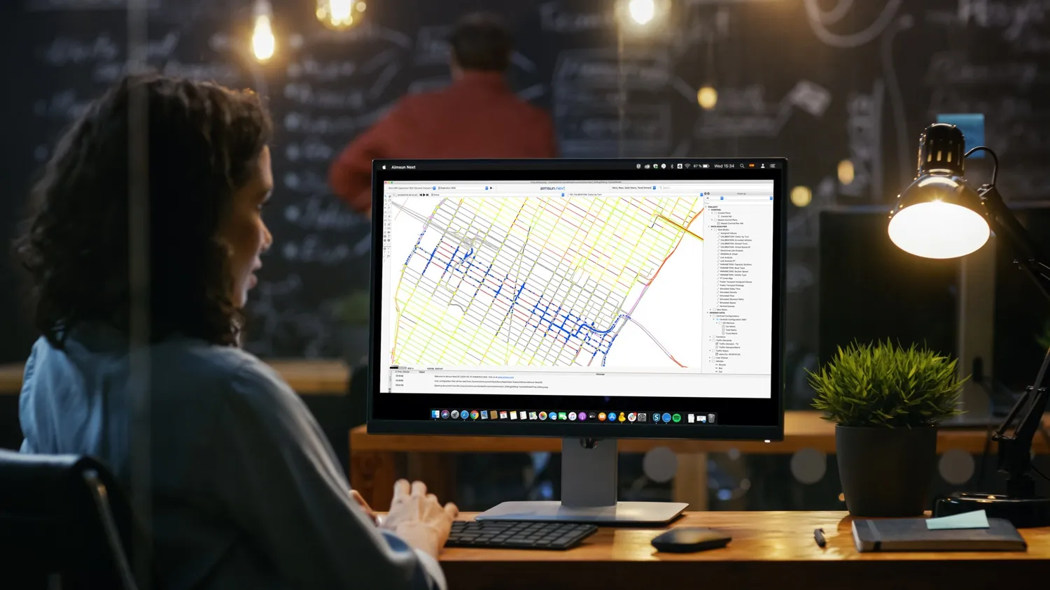
The Next Viewer, available from version 8.4 of the software onwards, allows third parties to share and check mobility model simulation results remotely or to retrieve data from a previous execution of any Aimsun Next model. 

They will only be able to see – not change – the results.

Once the Viewer is installed, people can receive Aimsun Next.ang files for viewing, and the database where the outputs are stored. 

They can also be sent the .arf file for replaying a simulation and the .apa file for viewing routes.

“From a consultancy perspective this is really exciting,” says Paolo Rinelli, global head of product management at Aimsun. 

“The Viewer will save so much time and effort: if project owners have a direct window into the transport modelling team’s progress, it gives them more agency in analysing outputs, which in turn enables closer involvement, better communication during a project, and a more efficient workflow.”  
 

Related Content

  • December 5, 2012
    Reducing congestion with Tomtom's historical traffic data
    Historical traffic data provided by TomTom is being used by the local government in Spain’s Basque region to reduce road congestion at less cost. Old habits die hard. Photos from as far back as the 1930s show people counting cars by the roadside in order to provide congestion data to those running road networks. Today, such techniques are still used, albeit augmented by a range of automation technologies such as inductive loops, infra-red sensors and number plate recognition. Even with these advances, howe
  • April 10, 2012
    Why integrated traffic management needs a cohesive approach
    Traffic control is increasingly being viewed as one essential element of a wider ‘system of systems’ – the smart city. Jason Barnes, Jon Masters and David Crawford report on latest ideas and efforts for making cities ‘smarter’ Virtually every element of the fabric and utilitarian operations that make urban areas tick can now be found somewhere in the mix that is the ‘smart city’ agenda. Ideas have expanded and projects pursued in different directions as the rhetoric on making cities ‘smarter’ has grown. App
  • January 7, 2014
    Bronx benefits from mesoscopic-microscopic modelling
    Michael Marsico, Andrew Weeks, Keir Opie and Murat Ayçin explain the application of hybrid traffic simulation to a planning study in New York City. Traffic modelling, particularly mesoscopic-microscopic hybrid simulation, has played a key role in planning for the future of one of America's shortest interstates, the 1.3-mile Sheridan Expressway. New York City has just completed a two-year, interagency study federally funded by a TIGER II grant on how to improve the Sheridan Expressway and its surroundi
  • March 13, 2012
    Citilabs announces Cube version 5
    Citilabs has released its next-generation product line, Cube 5. This new version of Cube has been developed using ESRI's ArcGIS technology, providing software users with significant advancements in productivity, analysis and data-sharing. Cube users will now be able to store transportation networks as ESRI geodatabases, utilising ESRI feature classes. Citilabs says moving data back and forth between models and GIS has never been easier, saving transportation agencies and consultants time and money.