3D Laser Mapping launches aerial mapping system

November 28, 2017 Read time: 1 min

Geospatial technology company 3D Laser Mapping has introduced, Robin + Wings airborne LiDAR, an extension of the Robin mobile mapping unit. It can be used with both single pole and nose helicopter mounts and can be deployed in a range of sectors including transportation infrastructure, environmental monitoring and mapping.

According to the company, Robin +Wings works for ground and airborne applications, with the +Wings add-on extending this flexibility to rotary and fixed wing aircrafts and gyrocopters.

Graham Hunter, 3D Laser Mapping managing director said the airborne survey can generate detailed maps and is particularly effective in hard-to-reach areas or difficult terrain without exposing workers to hazards like falling rocks or unstable ground.

For more information on companies in this article

Related Content

  • Car to car communications a step closer
    December 14, 2012
    Vehicle manufacturers have targeted 2015 for the first cars to roll off European assembly lines fitted with operational V2X technology. They and their partners in the Car 2 Car Communications Consortium are confident of meeting the target, reports Jon Masters. Around three years from now vehicles should be appearing in showrooms boasting the capability of communicating with each other. Manufacturers will have started fitting the first proprietary car-to-car driver-aid safety devices and deployment of ‘vehic
  • A SIMPL idea from Seyond
    November 7, 2024
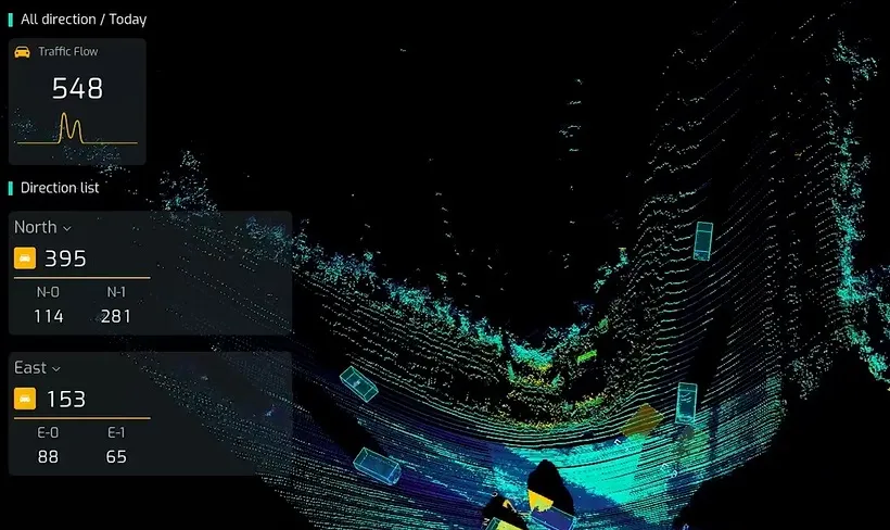
    Intersection management solution combines Lidar and AI for traffic signal control
  • Virtual cockpit in cars ‘edges closer to reality’
    September 3, 2015
    New analysis from Frost & Sullivan, Rise of Virtual Cockpits in Cars finds that the instrument cluster (IC) market in North America and Europe is expected to clock a compound annual growth rate (CAGR) of 2.2 percent from 2014 to 2021, with digital IC expected to reach a CAGR of approx. 26 percent by 2021. While the virtual cockpit will be limited to premium-segment vehicles, fully digital clusters that will be standard in about 20 percent of cars will also be offered as an option on medium-segment cars.
  • Applied Information’s app gets Marietta connected
    October 26, 2017
    Must the benefits of connected vehicle technology wait for a generation of new or retrofitted vehicles? The US city of Marietta is about to find out. Can connected vehicle functionality be delivered via a smartphone? Well, in Marietta, Georgia, they are about to answer that question. The city is testing a smartphone app which warns motorists of nearby cyclists and pedestrians, approaching first responders, wrong-way driving, entering active school zones and much more.