3D Laser Mapping launches aerial mapping system

November 28, 2017 Read time: 1 min

Geospatial technology company 3D Laser Mapping has introduced, Robin + Wings airborne LiDAR, an extension of the Robin mobile mapping unit. It can be used with both single pole and nose helicopter mounts and can be deployed in a range of sectors including transportation infrastructure, environmental monitoring and mapping.

According to the company, Robin +Wings works for ground and airborne applications, with the +Wings add-on extending this flexibility to rotary and fixed wing aircrafts and gyrocopters.

Graham Hunter, 3D Laser Mapping managing director said the airborne survey can generate detailed maps and is particularly effective in hard-to-reach areas or difficult terrain without exposing workers to hazards like falling rocks or unstable ground.

For more information on companies in this article

Related Content

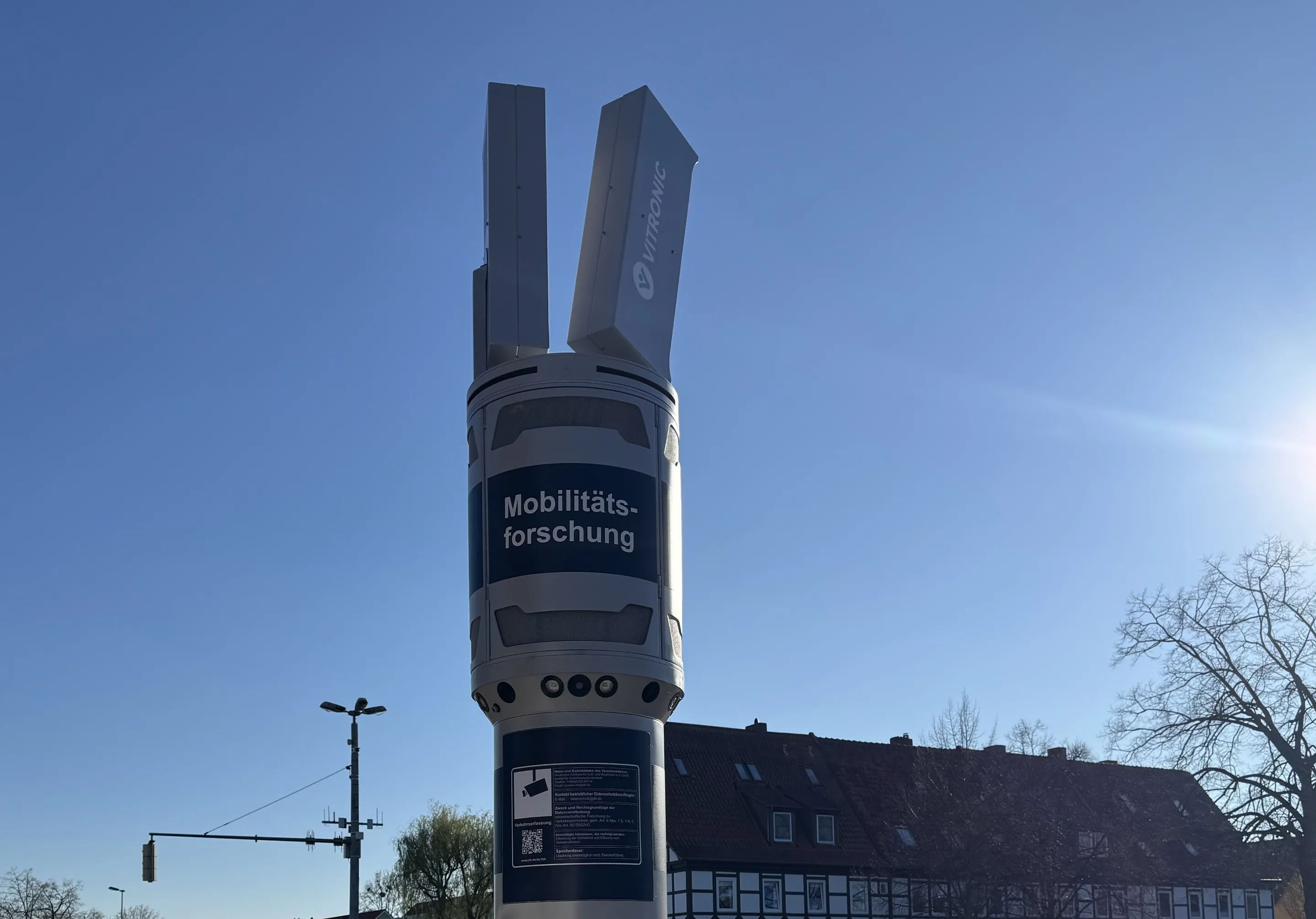
  • Germany is Mad for Vitronic
    April 30, 2025
    Managed Automated Driving project takes place in German city of Brunswick
  • Manchester seeks smart but not selective transport solutions
    January 25, 2018
    Smarter transport relies on better communications both with travellers and between transport providers. Andrew Williams reports. Inrix’s prediction that the cost of traffic congestion will rise by 63% to £21bn per year by 2030 clearly illustrates that, in addition to the ongoing inconvenience and inefficiency, ongoing gridlock is a significant drain on the economy. It is against this backdrop that a Cisco-led consortium has launched CitySpire, a smart transport programme that uses location-based services a
  • San Francisco plans express lane network across Bay Area
    February 25, 2015
    Colin Sowman looks at plans to convert 240km (150 miles) of HOV/car pool lanes. While some authorities have debated the conversion of high occupancy vehicle lanes (HOV) into express or managed lanes allowing toll paying single-occupant vehicles to avoid congestion, San Francisco’s Bay Area Metropolitan Transportation Commission (MTC) has acted. It is converting 240km (150 miles) of HOV/car pool lanes to express lanes and last fall the MTC’s Bay Area Infrastructure Financing Authority selected TransCore to d
  • Ouster Lidar aids German V2X plans 
    November 3, 2021
    Researchers built 60 mobile measuring stations to be deployed across a 4.3km stretch