3D Laser Mapping launches aerial mapping system

November 28, 2017 Read time: 1 min

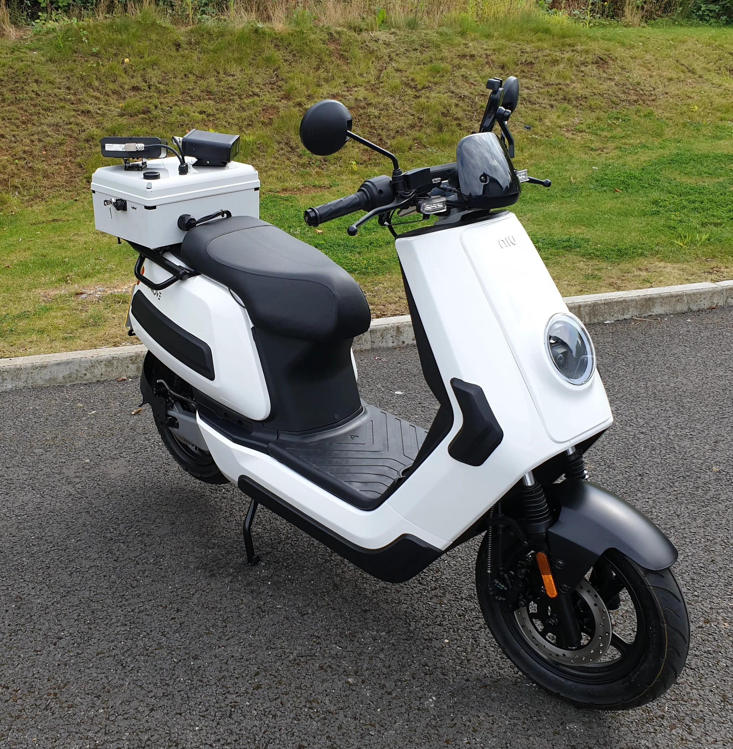
Geospatial technology company 3D Laser Mapping has introduced, Robin + Wings airborne LiDAR, an extension of the Robin mobile mapping unit. It can be used with both single pole and nose helicopter mounts and can be deployed in a range of sectors including transportation infrastructure, environmental monitoring and mapping.

According to the company, Robin +Wings works for ground and airborne applications, with the +Wings add-on extending this flexibility to rotary and fixed wing aircrafts and gyrocopters.

Graham Hunter, 3D Laser Mapping managing director said the airborne survey can generate detailed maps and is particularly effective in hard-to-reach areas or difficult terrain without exposing workers to hazards like falling rocks or unstable ground.

For more information on companies in this article

Related Content

  • Vricon releases solution for global georegister imagery
    May 2, 2018
    Vricon has launched its Precision 3D Registration (P3DR) software suite which, the company says, georegisters imagery automatically anywhere in the world. It works with Vricon’s Globe in 3D brand, a source of geospatial and digital elevation data used by defence and intelligence agencies. The company says that P3DR provides critical accuracy enhancements to other intelligence, surveillance and reconnaissance sources, allowing geospatial intelligence data to be used to direct resources. The solution aims to
  • More openness - the simple answer to transport's data issues
    October 22, 2018
    Public transit agencies create a lot of data – but using it constructively to solve transportation issues has been a problem. Ben Winokur and Luke Segars think they have the answer: greater openness. Today, more people are connected through smartphones than ever before - and they’re using them for more than texting and calling. People are searching for jobs on their devices, dating, shopping and even managing their finances. But Forbes reports that only a select few companies leverage all the technology at
  • Videalert launches new MEV-B
    October 18, 2021
    Cameras deliver capture rates of up to 98%, the company says 
  • Inertial sensors dramatically improve GNSS for ITS applications
    January 18, 2012
    Phil Harris, Thales UK, on how fused sensor data can significantly enhance GNSS-based positioning systems' performance in urban areas. Global Navigation Satellite System (GNSS)-based positioning is unique among available positioning technology due to its universal coverage and low equipment cost. By measuring the distances between an unknown position (such as a vehicle), and at least three known positions (GPS satellites), the unknown position can be calculated in three dimensions (latitude, longitude, and