3D Laser Mapping launches aerial mapping system

November 28, 2017 Read time: 1 min

Geospatial technology company 3D Laser Mapping has introduced, Robin + Wings airborne LiDAR, an extension of the Robin mobile mapping unit. It can be used with both single pole and nose helicopter mounts and can be deployed in a range of sectors including transportation infrastructure, environmental monitoring and mapping.

According to the company, Robin +Wings works for ground and airborne applications, with the +Wings add-on extending this flexibility to rotary and fixed wing aircrafts and gyrocopters.

Graham Hunter, 3D Laser Mapping managing director said the airborne survey can generate detailed maps and is particularly effective in hard-to-reach areas or difficult terrain without exposing workers to hazards like falling rocks or unstable ground.

For more information on companies in this article

Related Content

  • Vitronic's complete solutions for safety, security and tolling
    February 22, 2018
    Safety, security, road user charging and how it all comes together as the backbone of a smart road network - these are the topics that German machine vision specialist Vitronic will focus on at Intertraffic Amsterdam 2018. The company will showcase how its product range can be applied to a host of applications, from speed and red light enforcement, average speed enforcement, wanted cars search and border control, to electronic toll collection (ETC). “We have completed our portfolio and will present some
  • Bespoke ITS is helping to reduced collisions on America’s rural roads
    October 22, 2014
    David Crawford cherrypicks conference and award highlights Almost 30% of all US citizens live in rural areas or very small communities, and 34 of the 50 states exceed this level in their own populations, with the proportions rising as high as 85%. And although rural routes carry only 35% of all traffic, the accidents that occur on them account for some 54% of all US road traffic accident deaths.
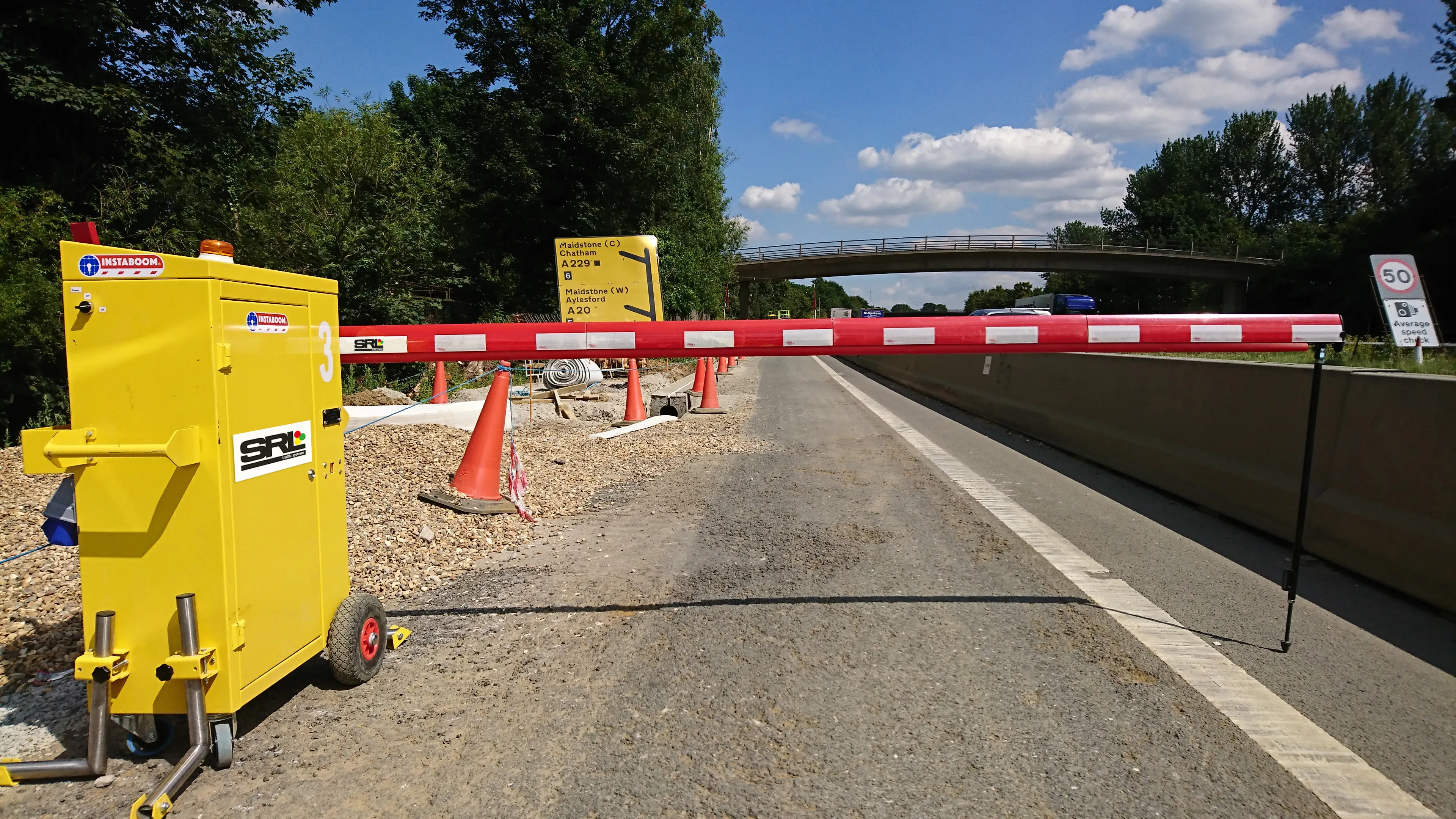
  • Boom times for SRL
    October 29, 2021
    SRL also offers the lighter weight Instaboom Lite or use on short duration operations,
  • Ford, MIT project measures pedestrian traffic, predict demand for electric shuttles
    July 28, 2016
    Ford Motor Company and the Massachusetts Institute of Technology are collaborating on a new research project that measures how pedestrians move in urban areas to improve certain public transportation services, such as ride-hailing and point-to-point shuttles services. The project will introduce a fleet of on-demand electric vehicle shuttles that operate on both city roads and campus walkways on the university’s campus. The vehicles use LiDAR sensors and cameras to measure pedestrian flow, which ultimate