3D Laser Mapping launches aerial mapping system

November 28, 2017 Read time: 1 min

Geospatial technology company 3D Laser Mapping has introduced, Robin + Wings airborne LiDAR, an extension of the Robin mobile mapping unit. It can be used with both single pole and nose helicopter mounts and can be deployed in a range of sectors including transportation infrastructure, environmental monitoring and mapping.

According to the company, Robin +Wings works for ground and airborne applications, with the +Wings add-on extending this flexibility to rotary and fixed wing aircrafts and gyrocopters.

Graham Hunter, 3D Laser Mapping managing director said the airborne survey can generate detailed maps and is particularly effective in hard-to-reach areas or difficult terrain without exposing workers to hazards like falling rocks or unstable ground.

For more information on companies in this article

Related Content

  • CES 2020: ITS does Vegas
    March 3, 2020
    Keen to find out what the future holds, 170,000 people gathered in Las Vegas for CES 2020 to see 20,000 product debuts and 4,400 exhibitors... and ITS International was there too (All images: CES®)
  • Virtual surveying boosts efficiency in Utah DOT
    June 12, 2015
    Overlaying a geographic information system with data from a new surveying system is paying dividends for Utah DOT. While building new roads tramways, metros and bicycle paths or installing smart systems to control traffic is the high-profile end of transportation planning and management, ensuring existing infrastructure and systems are serviceable and working is arguably more important. After all, at any given point the existing infrastructure will always carry more vehicles than new.
  • Hazen.ai pioneers 3D video analytics
    March 30, 2022
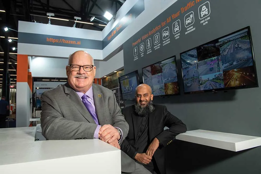
    Hazen.ai is announcing a revolutionary new 3D video analytics engine that transforms an ordinary video camera into a sophisticated 3D sensor for advanced traffic analytics. And it is demonstrating the system on its stand here at Intertraffic.
  • Road safety systems on show at ITS World Congress
    January 30, 2012
    A vast array of new products and systems for aiding road safety were displayed at the ITS World Congress in October. David Crawford assesses a selection of safety initiatives exhibited in Orlando. Vital roles for ITS applications in road traffic safety emerge clearly from a new report from the US Transportation Safety Advancement Group. The report has been carried out for the Next Generation 911 What's Next Forum, which is preparing the way for future development of the US national 911 emergency single call