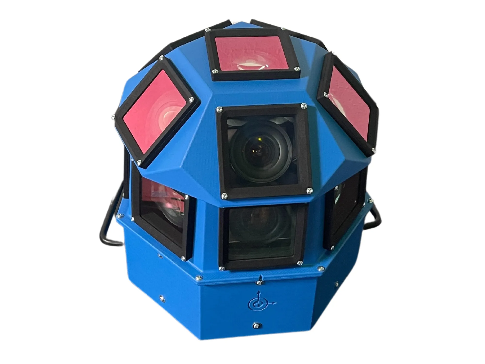
3D Laser Mapping launches aerial mapping system

November 28, 2017 Read time: 1 min

Geospatial technology company 3D Laser Mapping has introduced, Robin + Wings airborne LiDAR, an extension of the Robin mobile mapping unit. It can be used with both single pole and nose helicopter mounts and can be deployed in a range of sectors including transportation infrastructure, environmental monitoring and mapping.

According to the company, Robin +Wings works for ground and airborne applications, with the +Wings add-on extending this flexibility to rotary and fixed wing aircrafts and gyrocopters.

Graham Hunter, 3D Laser Mapping managing director said the airborne survey can generate detailed maps and is particularly effective in hard-to-reach areas or difficult terrain without exposing workers to hazards like falling rocks or unstable ground.

For more information on companies in this article

Related Content

  • Jenoptik Traffic Solutions shows MiniRack option
    March 24, 2014
    Jenoptik Traffic Solutions is here at Intertraffic to offer technological and service-oriented solutions that efficiently increase traffic safety throughout the world. The company says traffic law enforcement strategies of the future can be positively influenced by applying flexible technology solutions.
  • Do satellites provide a heavenly view of tolling’s future?
    December 16, 2014
    Satellite-based tolling opens up new options for authorities and can be integrated with DSRC systems as David Crawford discovers. As the proud custodian of the European Union (EU)’s longest road network covered by a single (truck) charging scheme – and the only one to include all major roads - Slovakia has become the continent’s poster-nation for the virtues of GNSS/CN (Global Navigation Satellite System/Cellular Network)-based tolling. It is also proved to be a very fast implementer. Speaking at the 2014 I
  • AI-InfraSolutions and Stemmer go the full 360°
    November 13, 2024
    Panoramic camera head designed for automated data collection in traffic applications
  • Network video alternative to machine vision in urban applications
    January 11, 2013
    It would be easy to fall into the trap of seeing machine vision as the vision-based solution for ITS and traffic, however Patrik Anderson, Director Business Development Transportation of Axis Communications, notes that many of the applications which are coming to be associated with machine vision – and, indeed, many of the characteristics, such as at-the-edge analytics and image processing – are also possible with open-standard networked video. Networked video brings a whole host of advantages, such as the