3D Laser Mapping launches aerial mapping system

November 28, 2017 Read time: 1 min

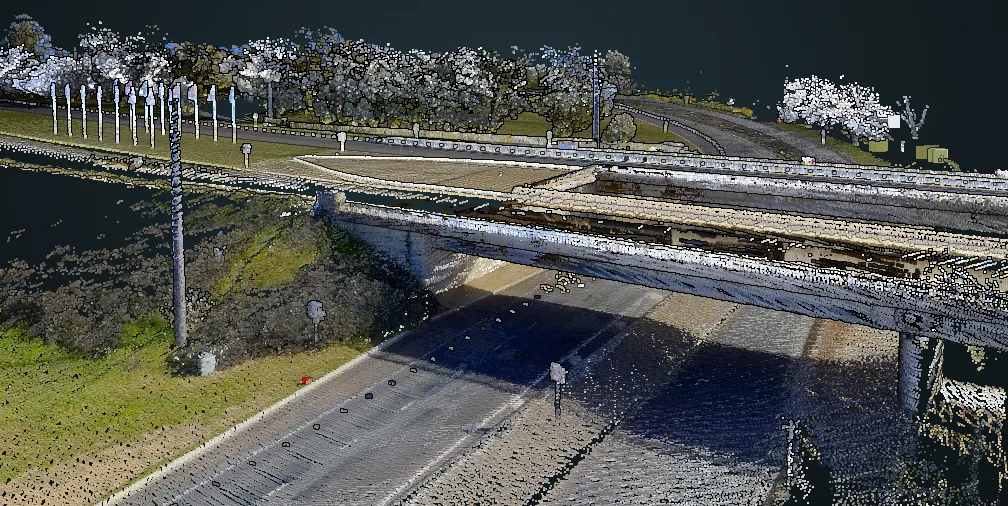
Geospatial technology company 3D Laser Mapping has introduced, Robin + Wings airborne LiDAR, an extension of the Robin mobile mapping unit. It can be used with both single pole and nose helicopter mounts and can be deployed in a range of sectors including transportation infrastructure, environmental monitoring and mapping.

According to the company, Robin +Wings works for ground and airborne applications, with the +Wings add-on extending this flexibility to rotary and fixed wing aircrafts and gyrocopters.

Graham Hunter, 3D Laser Mapping managing director said the airborne survey can generate detailed maps and is particularly effective in hard-to-reach areas or difficult terrain without exposing workers to hazards like falling rocks or unstable ground.

For more information on companies in this article

Related Content

  • Developing new detection and monitoring technologies
    November 21, 2012
    Established detection and monitoring technologies continue to evolve, but is it time to challenge their supremacy and take a serious look at less conventional ITS? Andy Graham considers the options with Jason Barnes. For ITS system providers, the most potentially lucrative markets over the next few years are going to be the BRIC (Brazil Russia India and China) group of countries, all of which are building many miles of new roads, applying tolling to existing ones (8,000km in China alone) and implementing w
  • Dubai and Kurdistan opt for Vitronic solutions
    March 1, 2013
    Enforcement systems provider Vitronic has won two significant fixed and mobile enforcement contracts in Dubai and Iraqi Kurdistan. Dubai Police has recently awarded the company a fur­ther contract for fixed traffic enforcement systems, including PoliScan speed enforcement, combined red light and speed enforcement systems, and vio­lation processing software. The stationary PoliScan speed systems monitor all ve­hicles in the surveillance zone equally, regardless of their posi­tion on the road. The systems in
  • Browsing welcome in Here's Lidar library
    January 18, 2022
    Company says it hopes to decrease the costs associated with data collection surveys 
  • The importance of going with the flow
    April 6, 2018
    Ensuring worker safety and up-to-date driver information is crucial to ensure that roadworks are not a source of danger and delay. Andrew Williams looks at a scheme on the A14 in Cambridgeshire, UK. In recent years, portable workzone ITS solutions have emerged as important tools in the management of major roadworks and system upgrade projects - and are viewed as an increasingly vital means of ensuring any ongoing traffic flow disruption is kept to a minimum. The technology forms a central component of an