Virginia DOT continues road management partnership with Fugro

The Virginia Department of Transportation (VDOT) has awarded Fugro Roadware a five-year contract for roadway data collection and evaluation services. Fugro is gathering, evaluating and assembling condition data for roadway assets across the state, including interstate, primary and secondary road sections.
December 23, 2015 Read time: 2 mins

The 1747 Virginia Department of Transportation (VDOT) has awarded 855 Fugro Roadware a five-year contract for roadway data collection and evaluation services.

Fugro is gathering, evaluating and assembling condition data for roadway assets across the state, including interstate, primary and secondary road sections.

Since 2005, Fugro’s automatic road analyser (ARAN) has collected VDOT’s road data on an annual cycle. The ARAN, a fully integrated data collection vehicle, is designed to collect information on everything from roughness, rutting, pavement surface condition and geometric data to forward facing high definition video images. Road distress analysis is conducted using Fugro’s Pave3D system including automated crack detection.

VDOT will leverage the continued investment for data processing and viewing by using Fugro’s Vision and iVision software. Using just a browser and an internet connection, iVision provides VDOT`s team with a convenient method to view full size images and data on all routes across their network. They can access maps for location reference and create customised charts.

Raja Shekharan, pavement management program engineer with Virginia DOT stated, “We look forward to continuing our work with Fugro over the next few years to efficiently manage Virginia’s pavement assets.”

For more information on companies in this article

Related Content

  • Real-time winter visibility from Esri
    October 8, 2020
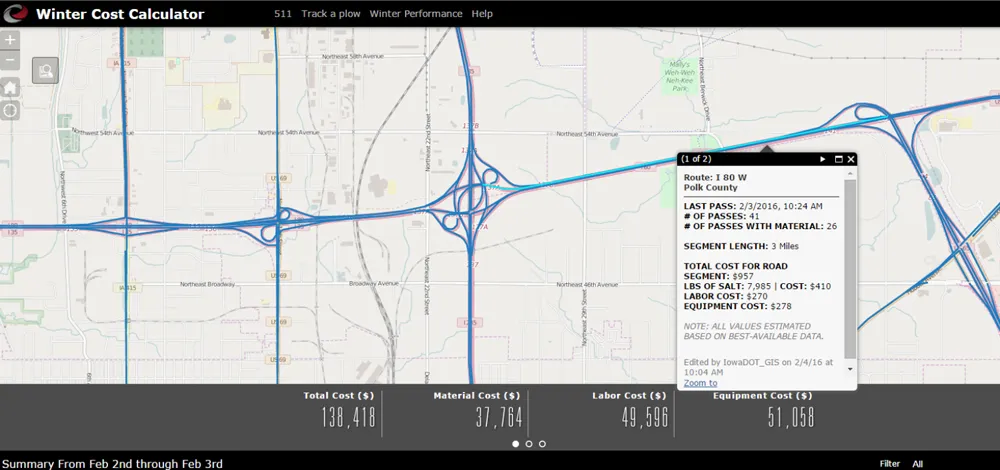
    Keeping the roadways clear during the winter months has become smarter and more transparent at the Iowa Department of Transportation.
  • Researchers use drones to assess infrastructure damage
    March 6, 2015
    Researchers at the University of New Mexico, along with collaborators at San Diego State University and BAE Systems, are utilising drone technology to develop an operational prototype to assess infrastructure damage. The drone will use innovative remote sensing approaches and cameras mounted on low cost aircraft or unmanned drones to detect and map fine scale transportation infrastructure damage such as cracks, deformations and shifts immediately following natural disasters such as earthquakes, floods and h
  • B&C Transit modernises Miami-Dade Metrorail’s control systems
    June 1, 2016
    Jason Gomez and Daniel Mondesir describe how passenger disruption was minimised during a major upgrading of the control room of Miami-Dade’s Metrorail. In 1984 when the Miami-Dade Department of Transportation and Public Works’ (DTPW) Metrorail system was launched in southern Florida, trains ran 18km along a single line and stopped at 10 stations.
  • NCDoT mobilises with Iteris ClearGuide
    November 18, 2022
    ClearGuide smart mobility infrastructure system will help identify traffic problems statewide