Transoft and Plexscape partner on 3D vehicle representation via Google Earth

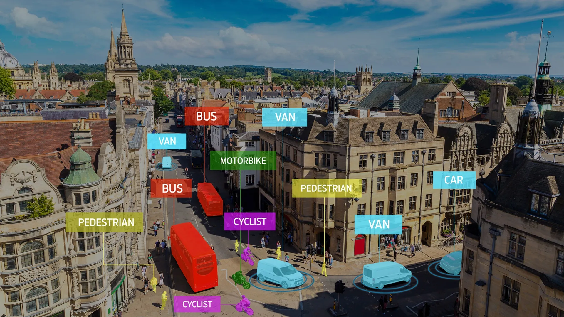
Software companies Transoft Solutions and Plexscape have entered into an agreement to offer more realistic 3D vehicle representation on Google Earth.
November 6, 2018 Read time: 1 min

Transoft says the integrated solution will allow engineers and developers to create and share presentations and reduce revisions and overall cost.

Transoft’s AutoTurn Pro, a tool for performing swept path analysis, was combined with Plex.Earth, an AutoCAD solution used for developing architectural, engineering and construction (AEC) projects.

Swept path analysis is the calculation and analysis of the movement and path of different parts of a vehicle when it is undertaking a turning manoeuvre. This process includes calculating the path taken by each wheel during the turn and also calculating the space needed by the vehicle body during the turn.

Lambros Kaliakatsos, founder & CEO of Plexscape, says Plex.Earth provides engineers with access to high-quality satellite imagery and terrain data.

We believe the partnership will help AEC professionals make decisions with more confidence and keep their products on time and budget, Kaliakatsos adds.

Alexander Brozek, vice president & general manager of Transoft Solutions EMEA, says: “Engineers can easily demonstrate their performed swept path analysis for impressive and self-explaining presentations or running quick checks in the conceptional phase of a project.”

For more information on companies in this article

Related Content

  • Partnership delivers video surveillance solution
    November 28, 2012
    In a partnership designed to address and overcome the challenges of the amounts of data generated by digital video surveillance systems, video surveillance and security products supplier Samsung Techwin is to collaborate with computer and IP storage provider Pivot3 to offer a unified IP video surveillance solution to new and existing clients. By combining Pivot3 vSTAC Watch appliances with Samsung video management software and security cameras, surveillance users can leverage one appliance for the viewing,
  • EIT Urban Mobility and Abertis take on Immense challenge
    September 22, 2023
    Barcelona and Munich are hosting a two-month trial of satellite-based road usage charging
  • New York pioneers online mobile real-time bus tracking
    May 22, 2012
    An unusual technology collaboration. David Crawford investigates Early in January 2012, the New York City Metropolitan Transportation Authority (MTA) rolled out the first borough-wide implementation of its pioneering Bus Time online mobile real-time tracking service. The system allow commuters to track each bus on every route in real-time on the internet, via smartphones and by text messaging to a mobile phone. The MTA chose Staten Island for its first live launch due to it being the only one of the five Ne
  • Vivacity Labs rolls out AI-controlled junctions 
    November 13, 2020
    Initiative in Manchester, UK, is designed to facilitate higher levels of non-vehicle movements