Toyota demos HD maps for Tokyo AVs

Toyota's Research Institute-Advanced Development has demonstrated high definition (HD) maps for autonomous vehicles (AVs) for surface roads in Japan with a relative accuracy of less than 50cm.
By Ben Spencer March 31, 2020 Read time: 2 mins
Toyota demos HD maps for AVs for surface roads in Japan (© Rui Baião | Dreamstime.com)

Toyota is hoping to use the results to shorten the delay in updating HD maps for AVs, expand map coverage and reduce maintenance costs.
 
The company collaborated with space infrastructure company Maxar Technologies and IT services provider NTT Data to build the maps using commercial satellite imagery.
 
The demonstration allowed the partners to automatically extract the required map information by analysing, removing and correcting non-map image pixels such as cars and shadows due to the inclination of buildings in satellite imagery. Maps were created within the 23 wards of Tokyo as well as six unnamed cities in the US and Europe.

A collaboration with road intelligence firm Carmera showcased how to make maps using consumer-grade vehicle cameras. Both parties used dashcam drive recorders to detect and place road features such as lane markings, traffic signals and signs within the 23 wards of Tokyo and two unnamed cities in the US state of Michigan.

In a separate initiative, Toyota showed how lane markings necessary for AVs could be updated in near real-time on TomTom's HD map. This was achieved by converting vehicle data into TomTom's cloud-based transactional mapmaking platform, Toyota says.
 
Additionally, Toyota worked with Here Technologies to correct the positional errors in its vehicle data. Here created surface road maps and ingested data into its platform and automatically generated HD maps including lane level information, the company adds.


For more information on companies in this article

Related Content

  • AI-InfraSolutions and Stemmer go the full 360°
    November 13, 2024
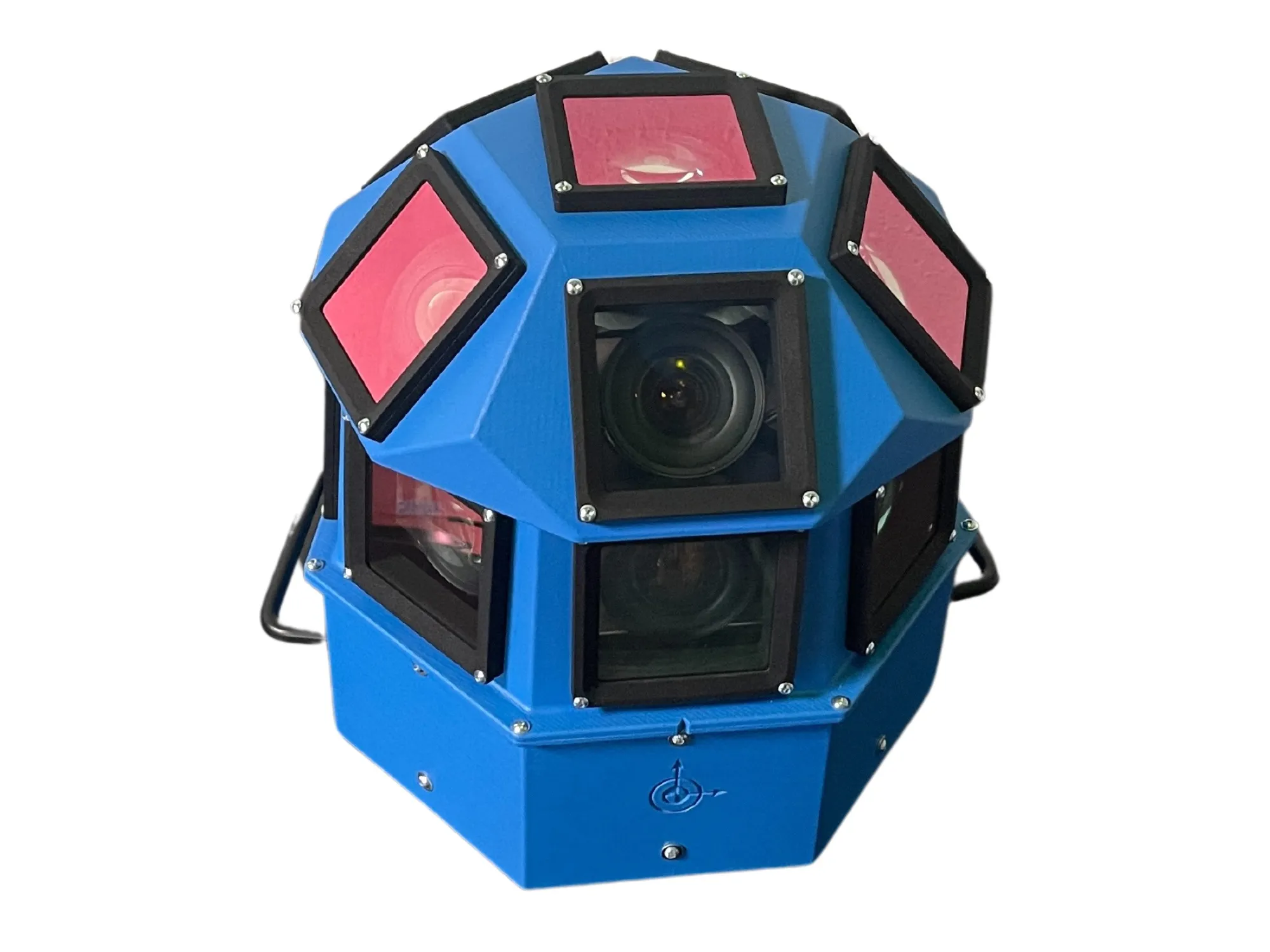
    Panoramic camera head designed for automated data collection in traffic applications
  • Siemens offers Stamford a ‘bird’s eye view’
    April 29, 2019
    Stamford, Connecticut is a vibrant, diverse community overlooking the Long Island Sound, within commuting distance of New York City. Stamford hosts the largest financial district in the greater New York metro area outside of Manhattan and is home to a high concentration of large corporations and corporate HQs. With a population of 130,000, Stamford is Connecticut’s third largest city and the fastest-growing municipality in the state. Like many US cities, Stamford had previously relied on an antiquated traf
  • Blockchain: the next big thing for ITS? Really?
    October 8, 2018
    Everyone’s heard of blockchain – but most people are less sure about what it really is, and how it might be used in transportation. Andrew Williams peers into cyberspace to find some answers. A growing number of organisations in the ITS industry are exploring how blockchain technology could be used for ITS and mobility applications. So, what exactly is blockchain technology? What are the key current and potential applications in the mobility and ITS sector? And what practical benefits might it bring?
  • ITS solutions to keep truck traffic moving
    June 8, 2015
    David Crawford reviews freight management initiatives. Managing truck traffic to minimise its environmental impacts, without adversely impacting on its critical economic role, continues to drive ITS-based solutions in both urban and interurban contexts.