Toyota demos HD maps for Tokyo AVs

Toyota's Research Institute-Advanced Development has demonstrated high definition (HD) maps for autonomous vehicles (AVs) for surface roads in Japan with a relative accuracy of less than 50cm.
By Ben Spencer March 31, 2020 Read time: 2 mins
Toyota demos HD maps for AVs for surface roads in Japan (© Rui Baião | Dreamstime.com)

Toyota is hoping to use the results to shorten the delay in updating HD maps for AVs, expand map coverage and reduce maintenance costs.
 
The company collaborated with space infrastructure company Maxar Technologies and IT services provider NTT Data to build the maps using commercial satellite imagery.
 
The demonstration allowed the partners to automatically extract the required map information by analysing, removing and correcting non-map image pixels such as cars and shadows due to the inclination of buildings in satellite imagery. Maps were created within the 23 wards of Tokyo as well as six unnamed cities in the US and Europe.

A collaboration with road intelligence firm Carmera showcased how to make maps using consumer-grade vehicle cameras. Both parties used dashcam drive recorders to detect and place road features such as lane markings, traffic signals and signs within the 23 wards of Tokyo and two unnamed cities in the US state of Michigan.

In a separate initiative, Toyota showed how lane markings necessary for AVs could be updated in near real-time on TomTom's HD map. This was achieved by converting vehicle data into TomTom's cloud-based transactional mapmaking platform, Toyota says.
 
Additionally, Toyota worked with Here Technologies to correct the positional errors in its vehicle data. Here created surface road maps and ingested data into its platform and automatically generated HD maps including lane level information, the company adds.


For more information on companies in this article

Related Content

  • Smartphone solution for parking performance
    March 31, 2017
    Automated parking offers optimised space utilisation and fewer damage complaints as David Crawford discovers. As cars become smarter, technology designed to make parking them more straightforward is developing in parallel. In turn, it is becoming clear that the places where vehicles spend much of their time will need to respond – more comprehensively than by supporting established aids such as smartphone-based parking location and reservation, or payment for time used.
  • ITS adaptions enhance cycle safety in Dublin
    December 3, 2013
    Enabled and enforced by innovative use of ITS, Dublin’s new off-road cycle route is proving a hit with commuters, leisure cyclists and walkers alike as Brendan O’Brien explains. Dublin City Council’s vision is to create a city where people of all ages and abilities have the confidence, incentive and facilities to cycle. On-road cycle lanes had already been incorporated into the Quality Bus Corridors design and there is a mix of on- and off-road cycle routes. However, in 2010 the Council began work on a new
  • First EV AV on Europe's public roads
    May 23, 2022
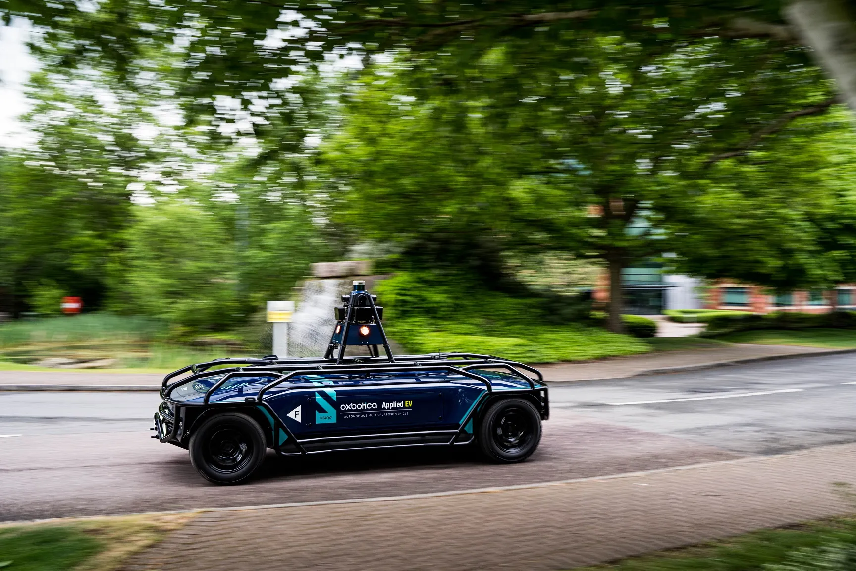
    Oxbotica's AppliedEV is now operating in Oxford, UK, with no on-board driver
  • Joining the dots: four ways to help cities make the connection
    May 18, 2018
    Smoothing the path to connected transportation systems in urban areas all round the world takes a lot of planning: Cisco’s Kyle Connor lays out the four key areas on which he thinks cities should focus. Forward-thinking cities around the world are exploring innovative, new ways to leverage the Internet of Things (IoT) and related technologies to create more connected and efficient transportation systems. Through greater digitisation and connectivity, cities can optimise public transit routes, reduce