Toyota demos HD maps for Tokyo AVs

Toyota's Research Institute-Advanced Development has demonstrated high definition (HD) maps for autonomous vehicles (AVs) for surface roads in Japan with a relative accuracy of less than 50cm.
By Ben Spencer March 31, 2020 Read time: 2 mins
Toyota demos HD maps for AVs for surface roads in Japan (© Rui Baião | Dreamstime.com)

Toyota is hoping to use the results to shorten the delay in updating HD maps for AVs, expand map coverage and reduce maintenance costs.
 
The company collaborated with space infrastructure company Maxar Technologies and IT services provider NTT Data to build the maps using commercial satellite imagery.
 
The demonstration allowed the partners to automatically extract the required map information by analysing, removing and correcting non-map image pixels such as cars and shadows due to the inclination of buildings in satellite imagery. Maps were created within the 23 wards of Tokyo as well as six unnamed cities in the US and Europe.

A collaboration with road intelligence firm Carmera showcased how to make maps using consumer-grade vehicle cameras. Both parties used dashcam drive recorders to detect and place road features such as lane markings, traffic signals and signs within the 23 wards of Tokyo and two unnamed cities in the US state of Michigan.

In a separate initiative, Toyota showed how lane markings necessary for AVs could be updated in near real-time on TomTom's HD map. This was achieved by converting vehicle data into TomTom's cloud-based transactional mapmaking platform, Toyota says.
 
Additionally, Toyota worked with Here Technologies to correct the positional errors in its vehicle data. Here created surface road maps and ingested data into its platform and automatically generated HD maps including lane level information, the company adds.


For more information on companies in this article

Related Content

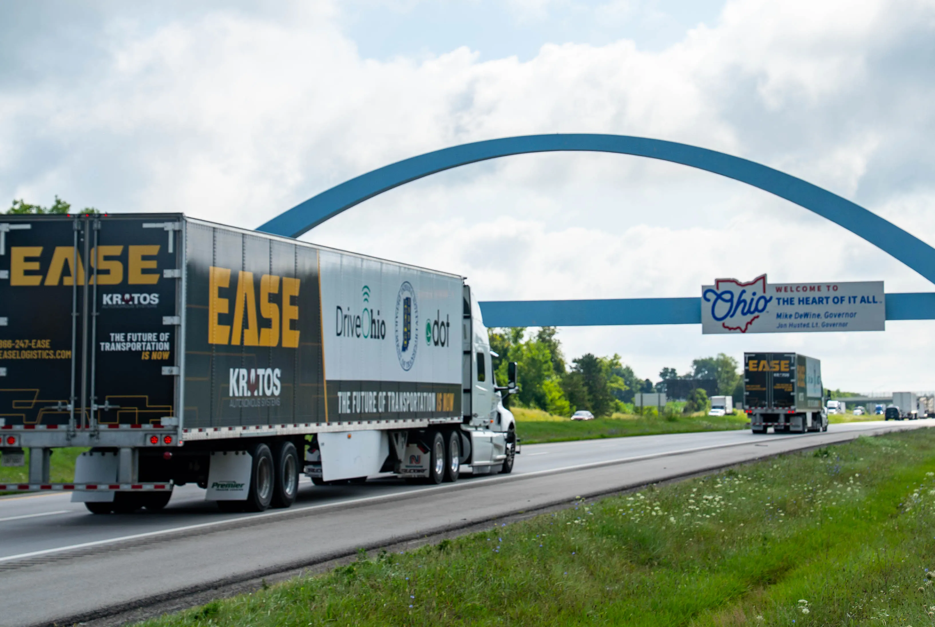
  • AV trucks now operating in $8.8m pilot between Ohio and Indiana
    April 16, 2025
    Two tractor-trailers are travelling on I-70 between Columbus and Indianapolis
  • Wrong Way Detection System prevents accidents, improves safety
    January 31, 2012
    In 2006, within a span of four months, two incidents of drivers entering the 16km-long Westpark Tollway in Houston, Texas resulted in horrific accidents that caused a number of fatalities. As a result, Harris County Toll Road Authority (HCTRA) began investigating technologies that could help detect vehicles entering the tollway in the wrong direction.
  • Sharing resources, reducing traffic management costs
    January 25, 2012
    Telematics Technology’s Peter Billington, Chair of the UTMC ANPR Working Group, on how common protocols can enhance local agency cooperation and significantly reduce costs
  • Here to lead vehicle hazard warning pilot in Finland
    July 1, 2015
    Mapping and navigation specialist Here has been selected by Finnish traffic agencies Finnish Transport Agency (FTA) and Trafi, the Finnish Transport Safety Agency to lead a pilot project to enable vehicles to communicate safety hazards to others on the road. Here will also work with traffic information management service company Infotripla in implementing the project, which will be the first to implement a road hazard warning messaging system as described in the Intelligent Transportation Systems (ITS)