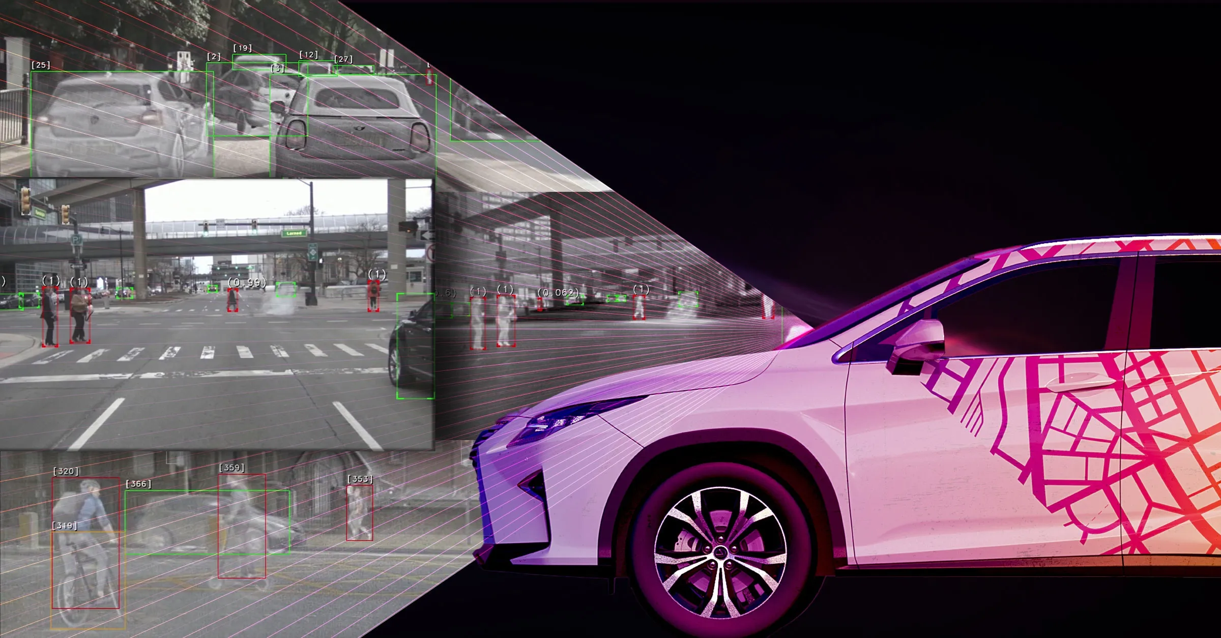
Toyota demos HD maps for Tokyo AVs

Toyota's Research Institute-Advanced Development has demonstrated high definition (HD) maps for autonomous vehicles (AVs) for surface roads in Japan with a relative accuracy of less than 50cm.
By Ben Spencer March 31, 2020 Read time: 2 mins
Toyota demos HD maps for AVs for surface roads in Japan (© Rui Baião | Dreamstime.com)

Toyota is hoping to use the results to shorten the delay in updating HD maps for AVs, expand map coverage and reduce maintenance costs.
 
The company collaborated with space infrastructure company Maxar Technologies and IT services provider NTT Data to build the maps using commercial satellite imagery.
 
The demonstration allowed the partners to automatically extract the required map information by analysing, removing and correcting non-map image pixels such as cars and shadows due to the inclination of buildings in satellite imagery. Maps were created within the 23 wards of Tokyo as well as six unnamed cities in the US and Europe.

A collaboration with road intelligence firm Carmera showcased how to make maps using consumer-grade vehicle cameras. Both parties used dashcam drive recorders to detect and place road features such as lane markings, traffic signals and signs within the 23 wards of Tokyo and two unnamed cities in the US state of Michigan.

In a separate initiative, Toyota showed how lane markings necessary for AVs could be updated in near real-time on TomTom's HD map. This was achieved by converting vehicle data into TomTom's cloud-based transactional mapmaking platform, Toyota says.
 
Additionally, Toyota worked with Here Technologies to correct the positional errors in its vehicle data. Here created surface road maps and ingested data into its platform and automatically generated HD maps including lane level information, the company adds.


For more information on companies in this article

Related Content

  • Colorado DoT locates data-rich environment
    January 14, 2020
    Colorado DoT and Esri have been cooperating to unlock data’s potential. Jason Barnes finds out what that has to do with firing a howitzer at snowy mountains – and exactly why things that happened in the past point the way towards future proofing
  • Mobile LiDAR technology used to capture traffic signal data across Pennsylvania
    November 30, 2016
    Engineering, planning and consulting services company Michael Baker International recently completed a nearly US$7-million project for the Pennsylvania Department of Transportation (PennDOT) to collect data from more than 8,600 traffic signals across the state. Over a year, the Michael Baker team, working with PennDOT’s Traffic Signal Asset Management System (TSAMS), collected nearly 20 million data fields for each of the 8,623 traffic signals analysed, which populated a centralised database to support Pen
  • Prism AI is a matter of perception for Teledyne Flir
    March 10, 2023
    New release's compact AI model allows simplified deployment on embedded systems
  • The future looks bright for ITS
    June 4, 2015
    Professor Eric Sampson talks about the past successes of ITS, its potential for the future and the challenges the industry faces. If anybody should know when Intelligent Transport Systems started that person is Professor Eric Sampson, a visiting professor at both Newcastle and London City Universities. Having spent 40 years working for the UK’s Department of Transport and other public administrations, Professor Sampson now supports the European Commission on ITS systems and advises ERTICO ITS-Europe and ITS