Toyota demos HD maps for Tokyo AVs

Toyota's Research Institute-Advanced Development has demonstrated high definition (HD) maps for autonomous vehicles (AVs) for surface roads in Japan with a relative accuracy of less than 50cm.
By Ben Spencer March 31, 2020 Read time: 2 mins
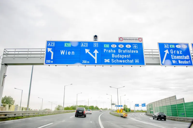
Toyota demos HD maps for AVs for surface roads in Japan (© Rui Baião | Dreamstime.com)

Toyota is hoping to use the results to shorten the delay in updating HD maps for AVs, expand map coverage and reduce maintenance costs.
 
The company collaborated with space infrastructure company Maxar Technologies and IT services provider NTT Data to build the maps using commercial satellite imagery.
 
The demonstration allowed the partners to automatically extract the required map information by analysing, removing and correcting non-map image pixels such as cars and shadows due to the inclination of buildings in satellite imagery. Maps were created within the 23 wards of Tokyo as well as six unnamed cities in the US and Europe.

A collaboration with road intelligence firm Carmera showcased how to make maps using consumer-grade vehicle cameras. Both parties used dashcam drive recorders to detect and place road features such as lane markings, traffic signals and signs within the 23 wards of Tokyo and two unnamed cities in the US state of Michigan.

In a separate initiative, Toyota showed how lane markings necessary for AVs could be updated in near real-time on TomTom's HD map. This was achieved by converting vehicle data into TomTom's cloud-based transactional mapmaking platform, Toyota says.
 
Additionally, Toyota worked with Here Technologies to correct the positional errors in its vehicle data. Here created surface road maps and ingested data into its platform and automatically generated HD maps including lane level information, the company adds.


Related Content

  • August 23, 2018
    Here beats Google as world’s leading location platform, says Ovum
    Here Technologies has toppled Google as the world’s leading location platform, according to a new report. The Dutch mapping company’s price plan appears more developer-friendly and competitive than the Google Maps model, says analyst Ovum. Location Platform Index: Mapping and Navigation ranked 14 major location platform vendors according to their mapping and technology as well as the size of their reach across the developer communities and industries. Here’s Freemium model is intended to lower price
  • March 14, 2022
    Lidar: beginning to see the light
    Lidar feels like a technology whose time has come – but why now? Adam Hill talks to manufacturers, vendors and system integrators in the sector to assess the state of play and to find out what comes next
  • December 19, 2022
    Traffic cameras embrace AI
    Artificial intelligence is spreading into many aspects of mobility – but what about traffic management and enforcement cameras? ITS International invited a few vision experts to ponder a couple of leading questions…
  • March 11, 2015
    Keeping a watching brief over traffic flows
    Monitoring traffic flows is set to become an even bigger challengebut a revolution in camera technology can help, as Patrik Anderson explains. By 2025 almost 60% of the world’s population will live in urban areas and in those cities there will be an estimated 6.2 billion private motorised trips every day. In order to manage this level of traffic growth, traffic management centres (TMCs) will need to both increase their monitoring capabilities and be able to detect traffic problems quickly, efficiently and r