Toyota demos HD maps for Tokyo AVs

Toyota's Research Institute-Advanced Development has demonstrated high definition (HD) maps for autonomous vehicles (AVs) for surface roads in Japan with a relative accuracy of less than 50cm.
By Ben Spencer March 31, 2020 Read time: 2 mins
Toyota demos HD maps for AVs for surface roads in Japan (© Rui Baião | Dreamstime.com)

Toyota is hoping to use the results to shorten the delay in updating HD maps for AVs, expand map coverage and reduce maintenance costs.
 
The company collaborated with space infrastructure company Maxar Technologies and IT services provider NTT Data to build the maps using commercial satellite imagery.
 
The demonstration allowed the partners to automatically extract the required map information by analysing, removing and correcting non-map image pixels such as cars and shadows due to the inclination of buildings in satellite imagery. Maps were created within the 23 wards of Tokyo as well as six unnamed cities in the US and Europe.

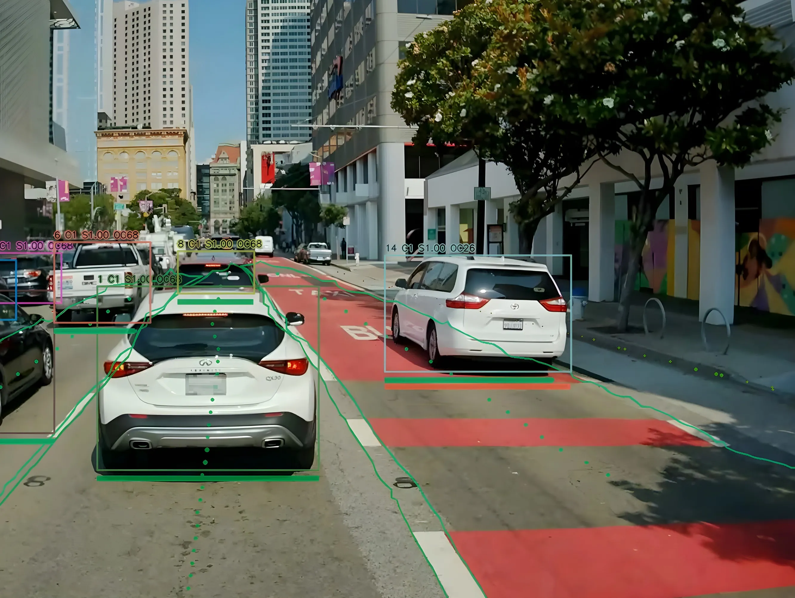
A collaboration with road intelligence firm Carmera showcased how to make maps using consumer-grade vehicle cameras. Both parties used dashcam drive recorders to detect and place road features such as lane markings, traffic signals and signs within the 23 wards of Tokyo and two unnamed cities in the US state of Michigan.

In a separate initiative, Toyota showed how lane markings necessary for AVs could be updated in near real-time on TomTom's HD map. This was achieved by converting vehicle data into TomTom's cloud-based transactional mapmaking platform, Toyota says.
 
Additionally, Toyota worked with Here Technologies to correct the positional errors in its vehicle data. Here created surface road maps and ingested data into its platform and automatically generated HD maps including lane level information, the company adds.


Related Content

  • May 26, 2020
    OpenSpace visualises how social distancing will work
    OpenSpace CEO Nicolas Le Glatin tells Adam Hill how Xovis camera tech might help unlock more convenient ways for moving through mobility hubs during Covid-19
  • October 1, 2019
    Uber bolsters app features to boost micromobility
    Uber is combining its ride-hailing and food delivery apps, while polishing its green credentials and launching a range of new features and partnerships. There is a particular focus on micromobility: bikes and scooters will be displayed on the map inside the ride-hailing giant’s app in 28 cities to make it easier for users to view their options. The company is also expanding its in-app Transit option to include San Francisco, Mexico City and Paris. New Uber Jump bikes and scooters will come with batteries
  • March 3, 2022
    Lidar: eyes wide open
    Lidar is on the cusp of becoming an indispensable part of transportation infrastructure worldwide. Itai Dadon of Ouster takes a high-level overview of the technology and its applications in ITS
  • July 21, 2022
    Euro 2022 uses space-age traffic control
    Consortium comprising Valerann and Excelerate is backed by European Space Agency