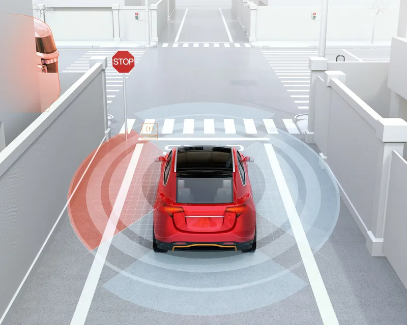
Toyota demos HD maps for Tokyo AVs

Toyota's Research Institute-Advanced Development has demonstrated high definition (HD) maps for autonomous vehicles (AVs) for surface roads in Japan with a relative accuracy of less than 50cm.
By Ben Spencer March 31, 2020 Read time: 2 mins
Toyota demos HD maps for AVs for surface roads in Japan (© Rui Baião | Dreamstime.com)

Toyota is hoping to use the results to shorten the delay in updating HD maps for AVs, expand map coverage and reduce maintenance costs.
 
The company collaborated with space infrastructure company Maxar Technologies and IT services provider NTT Data to build the maps using commercial satellite imagery.
 
The demonstration allowed the partners to automatically extract the required map information by analysing, removing and correcting non-map image pixels such as cars and shadows due to the inclination of buildings in satellite imagery. Maps were created within the 23 wards of Tokyo as well as six unnamed cities in the US and Europe.

A collaboration with road intelligence firm Carmera showcased how to make maps using consumer-grade vehicle cameras. Both parties used dashcam drive recorders to detect and place road features such as lane markings, traffic signals and signs within the 23 wards of Tokyo and two unnamed cities in the US state of Michigan.

In a separate initiative, Toyota showed how lane markings necessary for AVs could be updated in near real-time on TomTom's HD map. This was achieved by converting vehicle data into TomTom's cloud-based transactional mapmaking platform, Toyota says.
 
Additionally, Toyota worked with Here Technologies to correct the positional errors in its vehicle data. Here created surface road maps and ingested data into its platform and automatically generated HD maps including lane level information, the company adds.


For more information on companies in this article

Related Content

  • Shaping smarter cities with TomTom
    July 31, 2025

    TomTom will showcase just how far traffic and mapping technology has progressed. With a range of immersive product demonstrations and a strong line-up of expert speakers, the global mapmaker is poised to set a new standard for location-powered urban planning solutions.

  • 'Phantom’ menace endangers AV passengers, says study 
    February 20, 2020
    Projecting a ‘phantom’ image on the road can cause a semi-autonomous vehicle to brake suddenly and endanger passengers, according to a new study. 
  • US Cities push for smarter poles
    June 25, 2018
    US Cities The need to connect existing infrastructure has led various US transit authorities into imaginative alleyways: David Crawford examines some new roles for street furniture. US cities are vying with each other in developing schemes to create a new generation of connected places. Their strategies include taking advantage of their streetlight poles’ height and ubiquity to give them new roles in supporting intelligent nodes. They are now being equipped for collecting real-time data on key transport
  • Buses services benefit from seamless Wi-Fi data transfer
    April 9, 2014
    Ted Bowser explains how the almost total Wi-Fi coverage at Ride-On’s new bus garage is providing big benefits for the operator and passengers alike. The ability to download and upload data to and from the various systems on board buses has become central to mass transit operators’ business model. So when Ride-On, the public transportation system in Maryland’s Montgomery County, was moving one of its three depots into a bigger and purpose-built facility, connectivity was a key consideration.