Toyota demos HD maps for Tokyo AVs

Toyota's Research Institute-Advanced Development has demonstrated high definition (HD) maps for autonomous vehicles (AVs) for surface roads in Japan with a relative accuracy of less than 50cm.
By Ben Spencer March 31, 2020 Read time: 2 mins
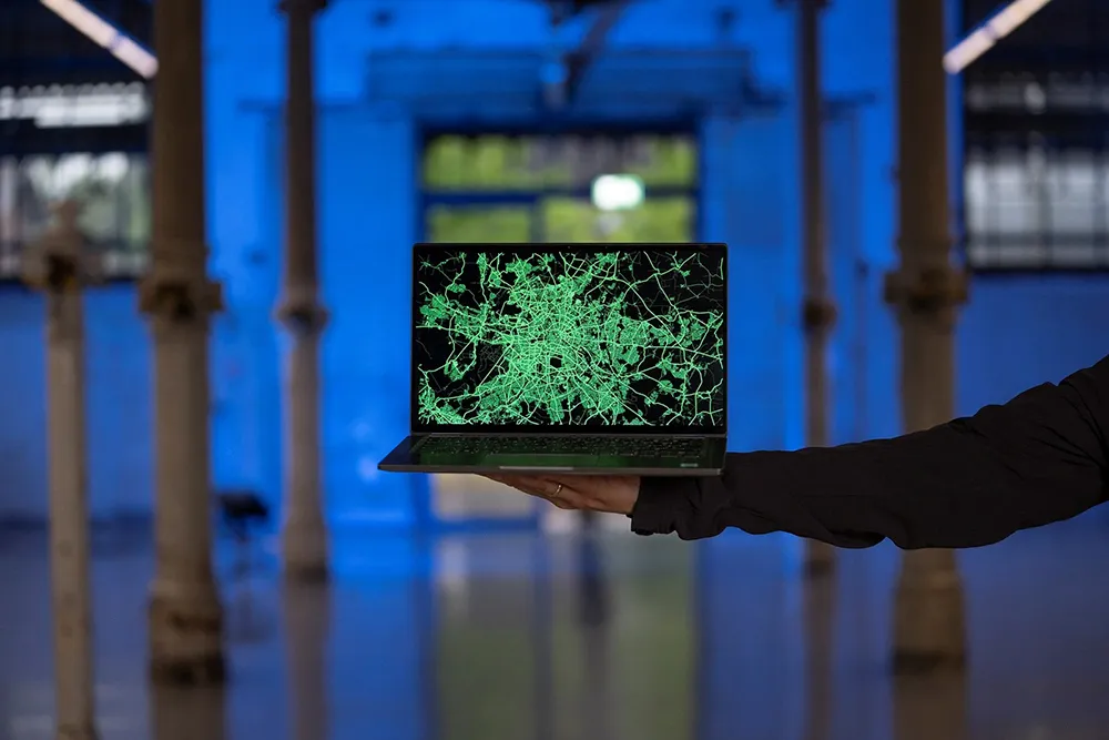
Toyota demos HD maps for AVs for surface roads in Japan (© Rui Baião | Dreamstime.com)

Toyota is hoping to use the results to shorten the delay in updating HD maps for AVs, expand map coverage and reduce maintenance costs.
 
The company collaborated with space infrastructure company Maxar Technologies and IT services provider NTT Data to build the maps using commercial satellite imagery.
 
The demonstration allowed the partners to automatically extract the required map information by analysing, removing and correcting non-map image pixels such as cars and shadows due to the inclination of buildings in satellite imagery. Maps were created within the 23 wards of Tokyo as well as six unnamed cities in the US and Europe.

A collaboration with road intelligence firm Carmera showcased how to make maps using consumer-grade vehicle cameras. Both parties used dashcam drive recorders to detect and place road features such as lane markings, traffic signals and signs within the 23 wards of Tokyo and two unnamed cities in the US state of Michigan.

In a separate initiative, Toyota showed how lane markings necessary for AVs could be updated in near real-time on TomTom's HD map. This was achieved by converting vehicle data into TomTom's cloud-based transactional mapmaking platform, Toyota says.
 
Additionally, Toyota worked with Here Technologies to correct the positional errors in its vehicle data. Here created surface road maps and ingested data into its platform and automatically generated HD maps including lane level information, the company adds.


For more information on companies in this article

Related Content

  • Improving the positional accuracy of GNSS road user charging
    July 23, 2012
    The European GINA project is intended to address and overcome many of the institutional, technical and public acceptance hurdles currently faced by satellite-based road user charging schemes. Dave Tindall and Denis Naberezhnykh, TRL, and Laure Dezes, ERF, write. Pay-as-you-drive Road User Charging (RUC), whereby demand (or congestion) is managed by applying appropriate tariffs in order to encourage drivers to make their journeys at less busy times, on less congested routes or even on different modes, could
  • New model generation with PTV’s Model2Go
    August 8, 2022
    PTV Group has launched a product which automates much of the painstaking business of building transport models. Adam Hill talks to the company’s Udo Heidl and Ben Stabler to find out more
  • New opportunities in a data-rich future
    March 19, 2014
    Jason Barnes looks at where the detection and monitoring sector is heading. In the future, there will be no such thing as an un-instrumented road. Just a short time ago, that could have been a quote from a high-level policy document but with the first arrivals of vehicles with 802.11p connectivity – the door-opener to Vehicle-to-X (V2X) applications – it’s a statement which has increasing validity. The technology which uses our roads will also provide information on road conditions but V2X isn’t the only
  • Debating road user charging systems
    January 26, 2012
    Are pre-launch trials of charging systems the way to improve public acceptance? Or is the real key a more robust political attitude? Here, leading system suppliers discuss the issue. The use of distance-based Road User Charging (RUC) is now well established, at least for heavy goods vehicles on strategic roads. However demand management for all vehicles, whether a distance-based charge or some form of cordon scheme, has yet to make significant progress. This is in spite of the logic and equity of RUC being