Toyota demos HD maps for Tokyo AVs

Toyota's Research Institute-Advanced Development has demonstrated high definition (HD) maps for autonomous vehicles (AVs) for surface roads in Japan with a relative accuracy of less than 50cm.
By Ben Spencer March 31, 2020 Read time: 2 mins
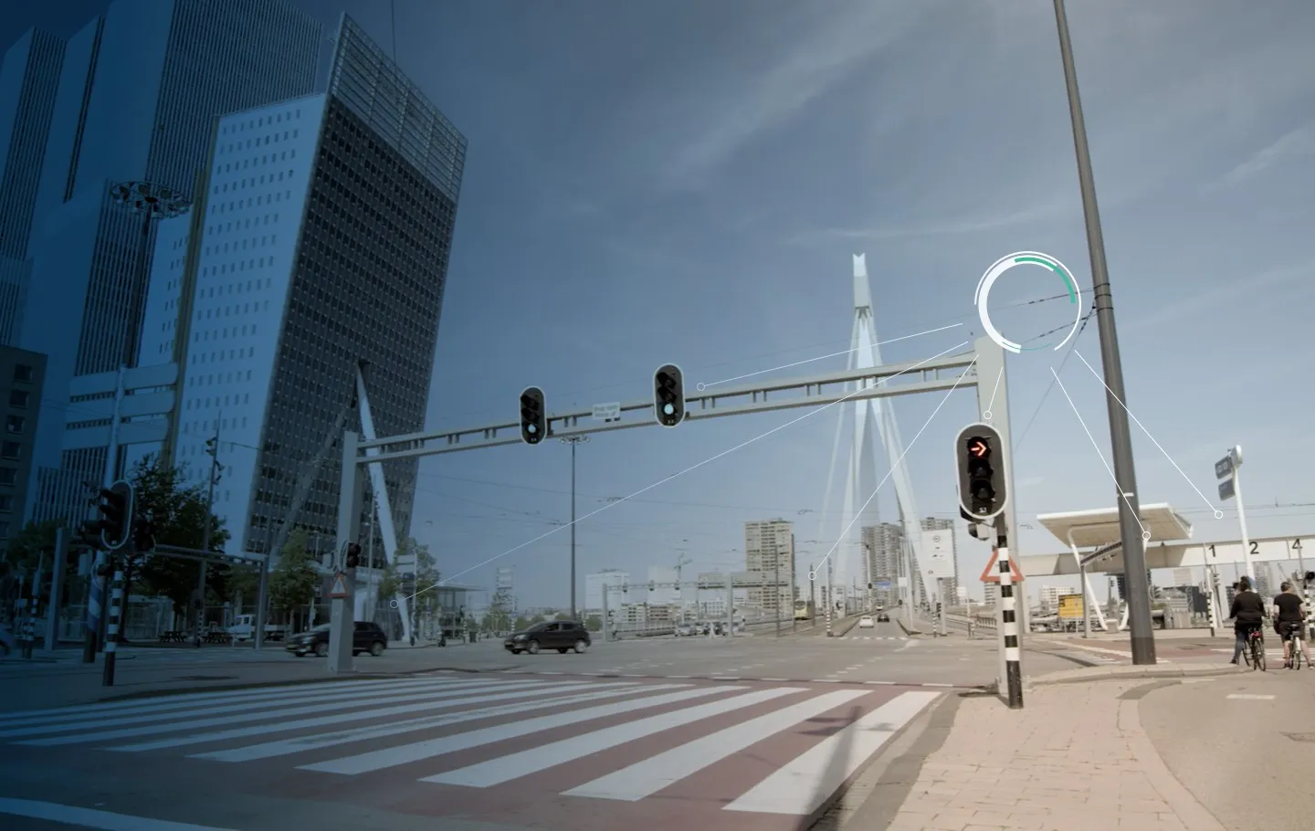
Toyota demos HD maps for AVs for surface roads in Japan (© Rui Baião | Dreamstime.com)

Toyota is hoping to use the results to shorten the delay in updating HD maps for AVs, expand map coverage and reduce maintenance costs.
 
The company collaborated with space infrastructure company Maxar Technologies and IT services provider NTT Data to build the maps using commercial satellite imagery.
 
The demonstration allowed the partners to automatically extract the required map information by analysing, removing and correcting non-map image pixels such as cars and shadows due to the inclination of buildings in satellite imagery. Maps were created within the 23 wards of Tokyo as well as six unnamed cities in the US and Europe.

A collaboration with road intelligence firm Carmera showcased how to make maps using consumer-grade vehicle cameras. Both parties used dashcam drive recorders to detect and place road features such as lane markings, traffic signals and signs within the 23 wards of Tokyo and two unnamed cities in the US state of Michigan.

In a separate initiative, Toyota showed how lane markings necessary for AVs could be updated in near real-time on TomTom's HD map. This was achieved by converting vehicle data into TomTom's cloud-based transactional mapmaking platform, Toyota says.
 
Additionally, Toyota worked with Here Technologies to correct the positional errors in its vehicle data. Here created surface road maps and ingested data into its platform and automatically generated HD maps including lane level information, the company adds.


For more information on companies in this article

Related Content

  • Sign language reduces human error says Clearview
    September 26, 2019
    Wrong-way warning systems and advanced queue detection can help to reduce human error. They can also cut road accidents – and therefore road deaths, says Clearview Intelligence Where were nearly 1,800 deaths on the UK’s roads in 2018 – an average of five people dying each day. The largest single cause of serious injury is crashes at junctions (accounting for 33% of incidents), while the largest single cause of death was run-off road crashes (30%) “With vehicles increasingly being designed with saf
  • Flexible, demand-based parking charges ease parking problems
    April 10, 2012
    Innovative parking initiatives on the US Pacific Coast. David Crawford reviews. Californian cities are leading the way in trialling new solutions to their endemic parking problems. According to Donald Shoup, a professor of urban planning at the University of California in Los Angeles, drivers looking for available spots can cause up to 74% of traffic congestion in downtown areas. One solution is variable, demand-responsive pricing of parking.
  • Ground-breaking neutral V2X platform for C-ITS
    June 7, 2021
    Monotch's TLEX can be used by multiple stakeholders across C-ITS ecosystem