Toyota demos HD maps for Tokyo AVs

Toyota's Research Institute-Advanced Development has demonstrated high definition (HD) maps for autonomous vehicles (AVs) for surface roads in Japan with a relative accuracy of less than 50cm.
By Ben Spencer March 31, 2020 Read time: 2 mins
Toyota demos HD maps for AVs for surface roads in Japan (© Rui Baião | Dreamstime.com)

Toyota is hoping to use the results to shorten the delay in updating HD maps for AVs, expand map coverage and reduce maintenance costs.
 
The company collaborated with space infrastructure company Maxar Technologies and IT services provider NTT Data to build the maps using commercial satellite imagery.
 
The demonstration allowed the partners to automatically extract the required map information by analysing, removing and correcting non-map image pixels such as cars and shadows due to the inclination of buildings in satellite imagery. Maps were created within the 23 wards of Tokyo as well as six unnamed cities in the US and Europe.

A collaboration with road intelligence firm Carmera showcased how to make maps using consumer-grade vehicle cameras. Both parties used dashcam drive recorders to detect and place road features such as lane markings, traffic signals and signs within the 23 wards of Tokyo and two unnamed cities in the US state of Michigan.

In a separate initiative, Toyota showed how lane markings necessary for AVs could be updated in near real-time on TomTom's HD map. This was achieved by converting vehicle data into TomTom's cloud-based transactional mapmaking platform, Toyota says.
 
Additionally, Toyota worked with Here Technologies to correct the positional errors in its vehicle data. Here created surface road maps and ingested data into its platform and automatically generated HD maps including lane level information, the company adds.


For more information on companies in this article

Related Content

  • In-vehicle intersection violation Warning system
    January 31, 2012
    Mike Schagrin, ITS Joint Program Office, RITA, and John Harding, NHTSA, describe US progress towards an in-vehicle Intersection Violation Warning system. In 2008, there were 37,261 fatalities on US roadways. Of these, 7,772, some 20.8 per cent of the total, were defined as intersection crashes or intersection-related crashes. Through a multi-agency research initiative led by the Research and Innovative Technology Administration (RITA), the US Department of Transportation (USDOT) has developed a prototype In
  • Klimator looks Ahead to winter weather
    September 15, 2022
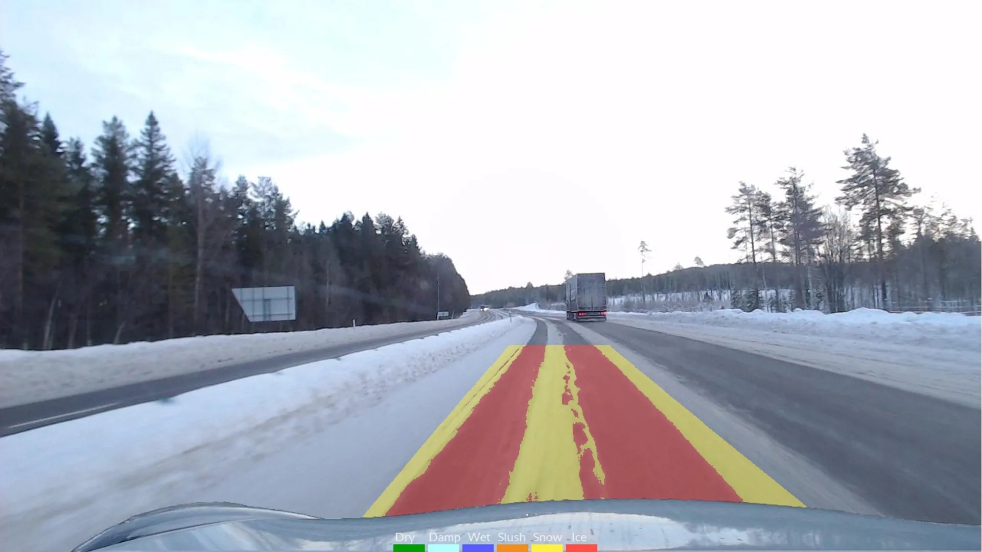
    Swedish firm's software links with floating car data to accurately detect road conditions
  • Bolt starts Oslo PathPilot trial
    March 22, 2022
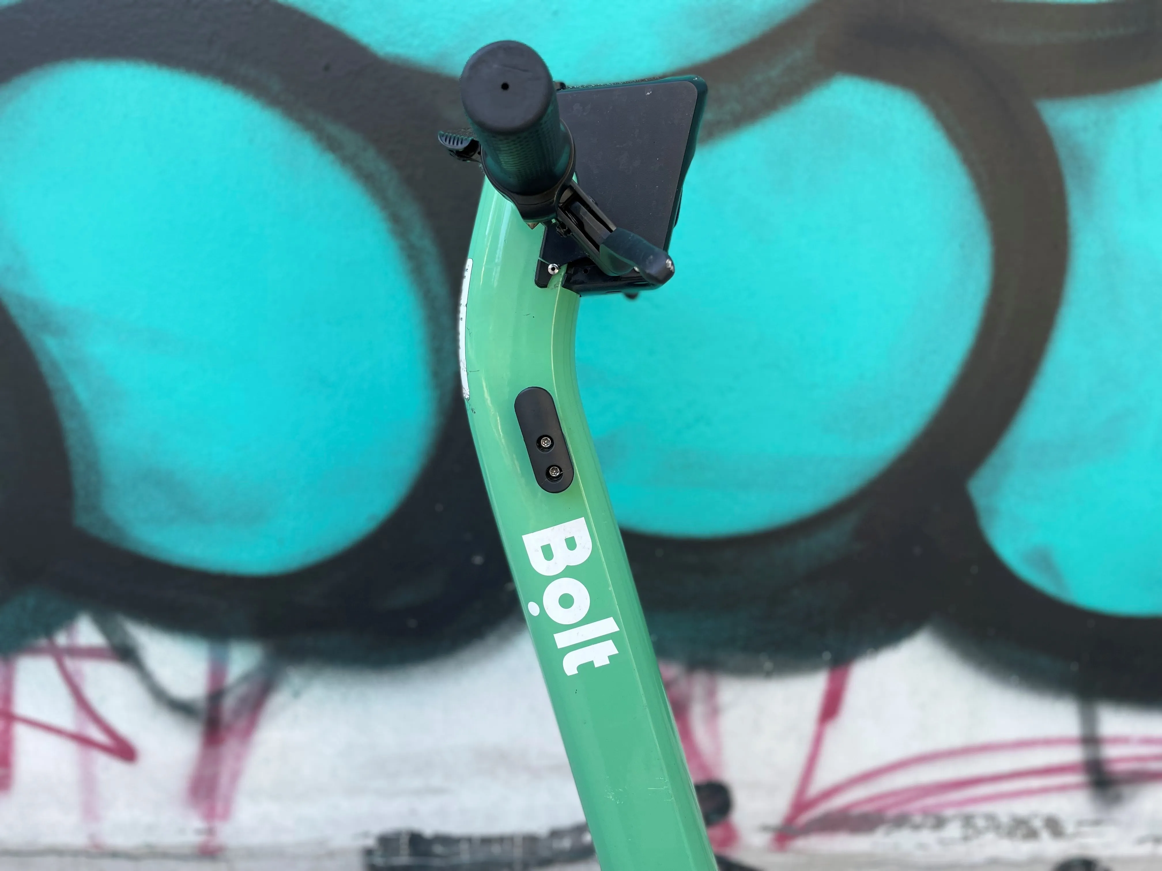
    Technology from Drover AI can be retrofitted to scooters to stop riders using pavements
  • Virtual surveying boosts efficiency in Utah DOT
    June 12, 2015
    Overlaying a geographic information system with data from a new surveying system is paying dividends for Utah DOT. While building new roads tramways, metros and bicycle paths or installing smart systems to control traffic is the high-profile end of transportation planning and management, ensuring existing infrastructure and systems are serviceable and working is arguably more important. After all, at any given point the existing infrastructure will always carry more vehicles than new.