StreetLight Data provides free VMT metrics

StreetLight Data is offering vehicle miles travelled (VMT) data for US transit agencies to monitor transport networks and understand travel patterns during the Covid-19 pandemic.
By Adam Hill April 17, 2020 Read time: 2 mins
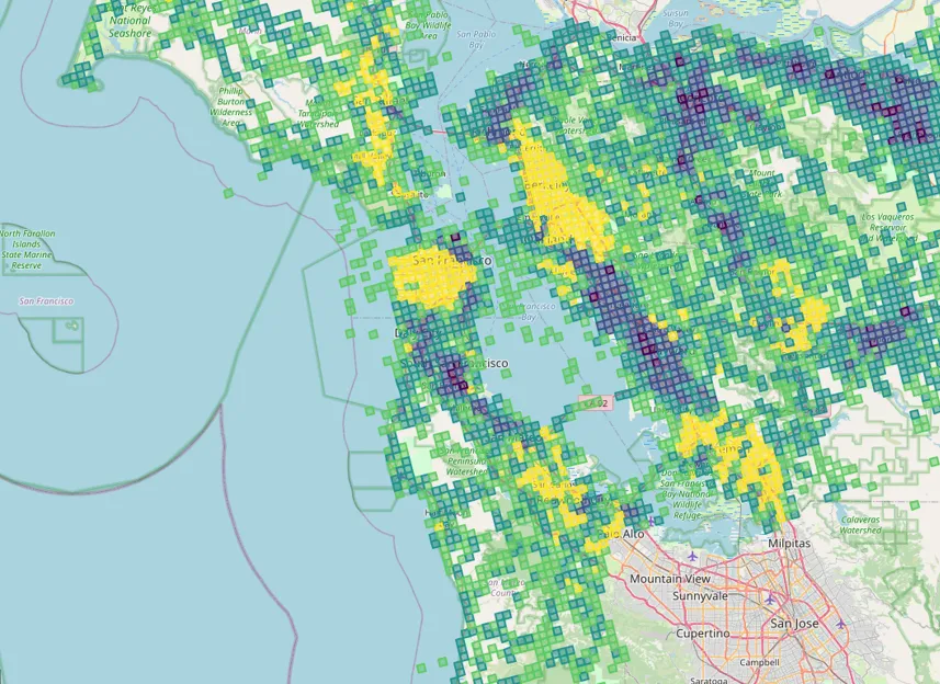
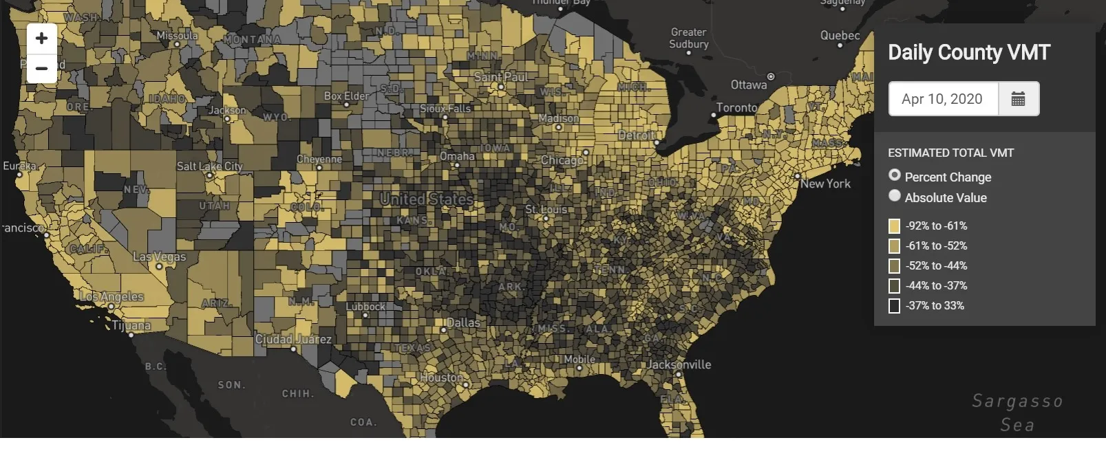
StreetLight Data maps VMT across the US

There has been massive disruption to travel patterns since February and Streetlight’s information covers more than 3,100 counties across the US, updated three times a week.

Designed to measure the transportation impact on communities, it is free to planners, researchers and engineers, as well as federal, state and local governments.

"Transportation professionals make critical budget and planning projections based on gas tax revenue and other factors derived from VMT,” explains CEO Laura Schewel.

“The recent massive drop in travel is throwing off all those plans. This data-driven map gets the key metrics out quickly, with local granularity, to those who need them. Planners, like everyone else, are adjusting to a new reality and we’re here to help navigate it. We hope this, in some way, can help our transportation community in this difficult and unprecedented time."

Location intelligence provider Cuebiq is working with StreetLight, and has developed what it calls a ‘near-real time’ mobility index to improve the outbreak forecast and response.

“StreetLight fused Cuebiq’s index with its own algorithms that transform GPS data into contextualised, aggregated and normalised travel patterns, as well as its deep repositories of data depicting historical VMT,” the company said in a statement.

The data is available here.

Related Content

  • May 31, 2013
    Data goldmines offer rich pickings
    Astronomical is not too grand a term to describe the current rate of growth in transportation-related data. Massive amounts of traffic related information, such as speed, volume, incidents and weather are being generated every second by road operators and users alike. Big data’ derives its name from the sheer amount and complexity of available raw data. Its potential value is starting to emerge among the intelligent transportation systems community. A gold rush is taking place to capture this value, with da
  • December 5, 2012
    Reducing congestion with Tomtom's historical traffic data
    Historical traffic data provided by TomTom is being used by the local government in Spain’s Basque region to reduce road congestion at less cost. Old habits die hard. Photos from as far back as the 1930s show people counting cars by the roadside in order to provide congestion data to those running road networks. Today, such techniques are still used, albeit augmented by a range of automation technologies such as inductive loops, infra-red sensors and number plate recognition. Even with these advances, howe
  • January 17, 2025
    New York’s Transit Tech Lab launched for 2025
    Annual competition aims to improve public transit in city’s metropolitan area
  • December 6, 2022
    Hayden AI’s Renee Autumn Ray: ‘It’s about problem solving’
    Renee Autumn Ray is senior director of global strategy for Hayden AI. She has also admitted to impostor syndrome, has no time for people who scorn the public sector and offers one simple rule about social media. Adam Hill meets her to find out what that is, among other things