PTV releases urban mobility analysis tool

PTV Group has released a data analysis tool which it says will help planners to better understand how transport works in their city.
By Adam Hill May 1, 2020 Read time: 1 min
The PTV solution allows planners to visualise mobility use (© Ded Mityay | Dreamstime.com)

Different kind of questions and scenarios can be evaluated using City in Motion, PTV says, with relevant mobility parameters visualised on digital maps. 

For instance, heat maps can show traffic volume across an entire route network, while an illustration of trip numbers highlights shared mobility options, with parking availability and e-scooter locations.

It also shows how travel demand fluctuates at different times of day or in different areas.

PTV says that policymakers can easily model the effect of interventions such as clear-air zones, parking restritions or street closures, thus allowing them to better plan.

The solution uses artificial intelligence and historical data to forecast transport demand.

“Data-driven analysis and visualisation provide the transparency to identify mobility problems and develop appropriate measures,” says PTV CEO Christian Haas. 

“This is a strong tool that will support city initiatives on their way to a smart and sustainable mobility of the future.”

For more information on companies in this article

Related Content

  • First-of-a-kind collaboration to analyse real-time traffic patterns and individual commuter travel history
    February 3, 2012
    IBM has announced a new collaboration with the California Department of Transportation (Caltrans) and California Center for Innovative Transportation (CCIT), a research institute at the University of California, Berkeley, to develop an intelligent transportation solution that will help commuters avoid congestion and enable transportation agencies to better understand, predict and manage traffic flow.
  • Sampo Hietanen’s mobility mission
    June 17, 2016
    For a decade Sampo Hietanen harboured a vision of an alternative form of mobility, now as CEO of MaaS Finland he is putting theory into practice. Sampo Hietanen has become the embodiment of Mobility as a Service (MaaS) – a concept he created 10 years ago while working for Finnish civil engineering giant Destia. “I had been working with the mobile sector on traffic information and started thinking what will happen when this becomes bigger,” he says.
  • Esri exposes US air pollution impact
    October 6, 2020
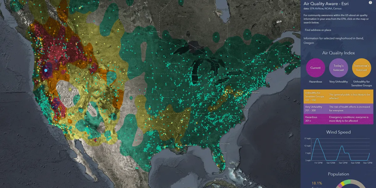
    App uses data from AirNow programme, American Community Survey and NOAA wind forecast 
  • UK city trials 3D mapping to aid services management and autonomous vehicles
    April 19, 2017
    The UK’s Oxford City Council has launched a street mapping trial project which it hopes could transform how manages its services across the city and pave the way for the development of autonomous vehicles. As part of the Smart Oxford project, the trial by the council and the University of Oxford’s Robotics Institute (ORI) will see sensors attached to a city council street cleaner in the city centre to create 3D maps. At the same time, the research team at the ORI is exploring data such as road and pavement