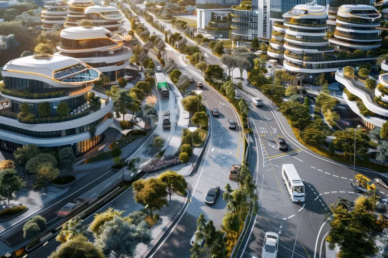
Geo-intelligence and asset integrity solutions provider Fugro has supplied the Ministry of Transportation of Ontario (MTO), Canada, with its automatic road analysers Aran 7000 and Aran 9000 to collect critical highway infrastructure data.
MTO uses the systems as complementary parts of their fleet of asset management tools and utilises the data to assess the health of Ontario’s highway network in its efforts to extend the lifespan of its road network and infrastructure.
The Aran 7000 is a fully port
Geo-intelligence and asset integrity solutions provider Fugro has supplied the Ministry of Transportation of Ontario (MTO), Canada, with its automatic road analysers Aran 7000 and Aran 9000 to collect critical highway infrastructure data.
MTO uses the systems as complementary parts of their fleet of asset management tools and utilises the data to assess the health of Ontario’s highway network in its efforts to extend the lifespan of its road network and infrastructure.
The Aran 7000 is a fully portable road profiling solution for roughness, smoothness, rutting and texture measurement while the Aran 9000 is a fully integrated data collection system equipped with lasers, cameras and accelerometers to measure a road’s profile and to provide an inventory of road assets. The devices enable the Ministry to obtain continuous and improved infrastructure data on highways and roadways, where conducting a manual survey is time consuming and unsafe for staff.
As technology has evolved, MTO’s ability to measure conditions accurately has increased and currently it is updating existing paving contracts to include a requirement for automated data collection. Pavement smoothness is of high importance for MTO and the travelling public. Each time a contractor completes a construction, resurfacing, or rehabilitation project, they are required to use an inertial profiler to measure the surface quality using the International Roughness Index (IRI).
According to Jason Wade, pavement evaluation supervisor for MTO, combining pavement data collection activities using the Aran 9000 and 7000enables them to provide the most cost effective and appropriate solution, in the right place and at the right time. The two platforms provide seamless data integration into MTO’s Vision and iVision specialist software and web application systems. This allows MTO to make well informed decisions on pavement performance and rehabilitation.