New Seoul Metro app aimed solely at foreign visitors

App is designed to make it easier for visitors to navigate transit in South Korean capital
By Adam Hill May 12, 2023 Read time: 1 min
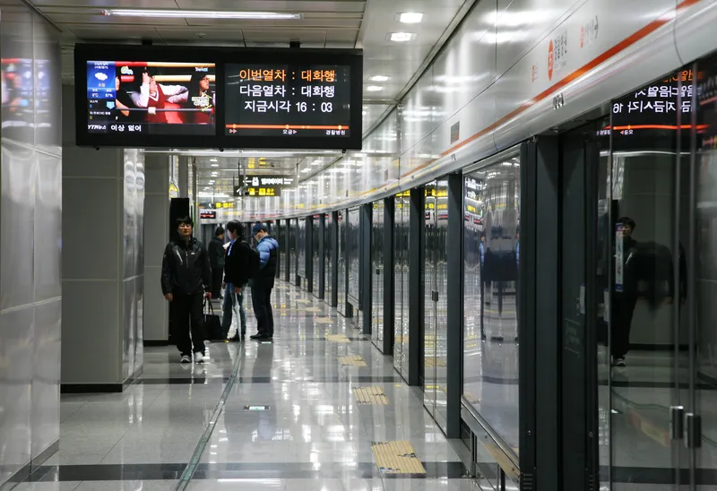
Getting around Seoul's metro system (© Anizza | Dreamstime.com)

The Seoul Metropolitan Government (SMG) has launched an app aimed only at foreigners to help them navigate Seoul Metro.

The Seoul Subway app provides information for the whole network in the South Korean capital and its surrounds, including real-time timetables, location-based guidance, ticketing options, fare prices, lockers, emergency contact numbers and station directions, including exits and restrooms.

A user's current location is automatically recognised as the departure station when they begin their route search.

Users do not have to know the name of the station they need to get off at - instead, the closest station will be introduced when a destination is inserted.

The app is designed to guide users to the correct train by giving live directions - and to alert you if you've accidentally got on the wrong train.

The Seoul Subway app can be downloaded via the App Store (iOS) and Google Play (Android). 

For more information on companies in this article

Related Content

  • Cross referencing data sets reveals now decision support information
    November 18, 2014
    Combining previously unrelated sets of data can provide an in-depth view of travel patterns. "Through the use of analytical tools, Urban Insights seeks to help transportation organisations benefit from the vast amounts of detailed data they collect every day.”
  • Customised traffic information with new SmartWay application
    December 24, 2012
    The new SmartWay app from the Tennessee Department of Transportation (TDOT) p will help drivers navigate Tennessee highways, providing up-to-the-minute customised traffic information. The home screen for the TDOT SmartWay App is a map, which will locate the user’s current position. Users will see icons on the left hand side of the map for traffic speeds, incidents, cameras, road construction, road conditions, and dynamic message signs. Map views can be customised by simply clicking on those icons.
  • Road user charging potential solution to transportation problems
    December 14, 2012
    A number of new and highly significant open road tolling schemes have just been launched or are soon to ‘go live’. Systems of road user charging are flexing their muscles as the means to solve politically sensitive transportation problems, reports Jon Masters. Gothenburg, January 2013, will be the time and place for the launch of the next city congestion charging scheme in Europe. In a separate development, Los Angeles County’s tolled Metro ExpressLanes began operating in November 2012 – the latest in a ser
  • Hamburg’s on-demand alternative to commuting by car
    December 5, 2017
    As Hamburg is confirmed as the host for the 2021 ITS World Congress, David Crawford looks at the city’s moves towards enabling MaaS-type operations. Germany’s second-largest city, Hamburg, is pinning its civic reputation on having its promised all-electric, on-demand, shuttle bus ridesharing service up and running by 2018. Partners in the three-year project are regional metro and bus service provider Hamburger Hochbahn and Volkswagen Group’s Berlinbased mobility innovation subsidiary Moia, which was set