
New Seoul Metro app aimed solely at foreign visitors

App is designed to make it easier for visitors to navigate transit in South Korean capital
By Adam Hill May 12, 2023 Read time: 1 min
Getting around Seoul's metro system (© Anizza | Dreamstime.com)

The Seoul Metropolitan Government (SMG) has launched an app aimed only at foreigners to help them navigate Seoul Metro.

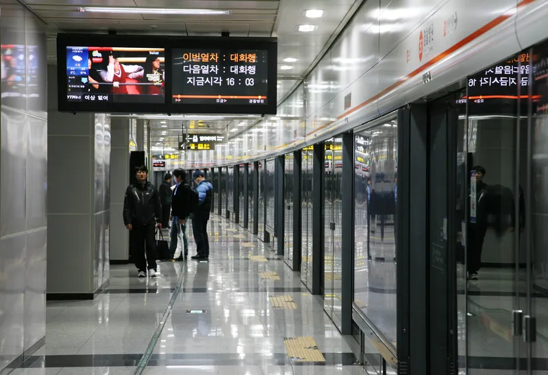
The Seoul Subway app provides information for the whole network in the South Korean capital and its surrounds, including real-time timetables, location-based guidance, ticketing options, fare prices, lockers, emergency contact numbers and station directions, including exits and restrooms.

A user's current location is automatically recognised as the departure station when they begin their route search.

Users do not have to know the name of the station they need to get off at - instead, the closest station will be introduced when a destination is inserted.

The app is designed to guide users to the correct train by giving live directions - and to alert you if you've accidentally got on the wrong train.

The Seoul Subway app can be downloaded via the App Store (iOS) and Google Play (Android). 

For more information on companies in this article

Related Content

  • Geotoll’s payment app could be the smart answer to tolling interoperability
    July 30, 2013
    Jon Masters looks at a smartphone app which could be the ‘disruptive technology’ that eases the way to interoperability in tolling systems. Consumer demand may soon drive the biggest step change yet in tolling. In the United States a new start-up company, Geotoll, has launched a smartphone app for electronic toll payment. It is not beyond possibility that rapid growth of the market for smartphones will continue – an estimated 50% of US citizens and 80% of Europeans now have one – and that the Geotoll brand
  • Do satellites provide a heavenly view of tolling’s future?
    December 16, 2014
    Satellite-based tolling opens up new options for authorities and can be integrated with DSRC systems as David Crawford discovers. As the proud custodian of the European Union (EU)’s longest road network covered by a single (truck) charging scheme – and the only one to include all major roads - Slovakia has become the continent’s poster-nation for the virtues of GNSS/CN (Global Navigation Satellite System/Cellular Network)-based tolling. It is also proved to be a very fast implementer. Speaking at the 2014 I
  • Texas capital launches trip planning tools
    September 9, 2016
    Capital Metropolitan Transportation Authority (Capital Metro) in Austin, Texas, has partnered with HaCon and Bytemark to develop trip planning tools for both web and mobile platforms. The CapMetro App, which has already been downloaded more than 250,000 times, now features updated traveller tools that provide door-to-door trip planning and real-time data visualisation on a predictive live map.
  • CES 2023: Seoul Robotics releases SENSR 3.0
    January 5, 2023
    3D perception platform is used in ITS applications to boost traffic flow and road safety